Orion's Photos: places - Wisconsin - rusk_county - 11_2002
Download these pictures
Dad and I visited our land in northern Wisconsin on Tuesday,
November 4, 2002. The land was an old homestead bought out
by great-grandpa Metzke in the 1950's.
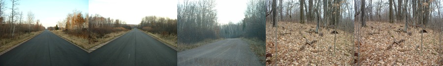
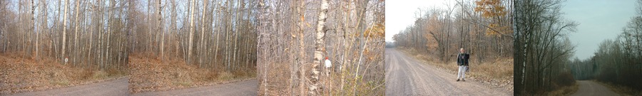
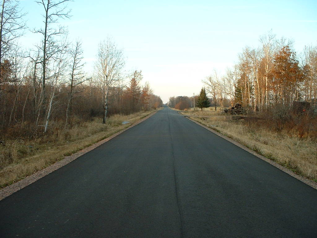
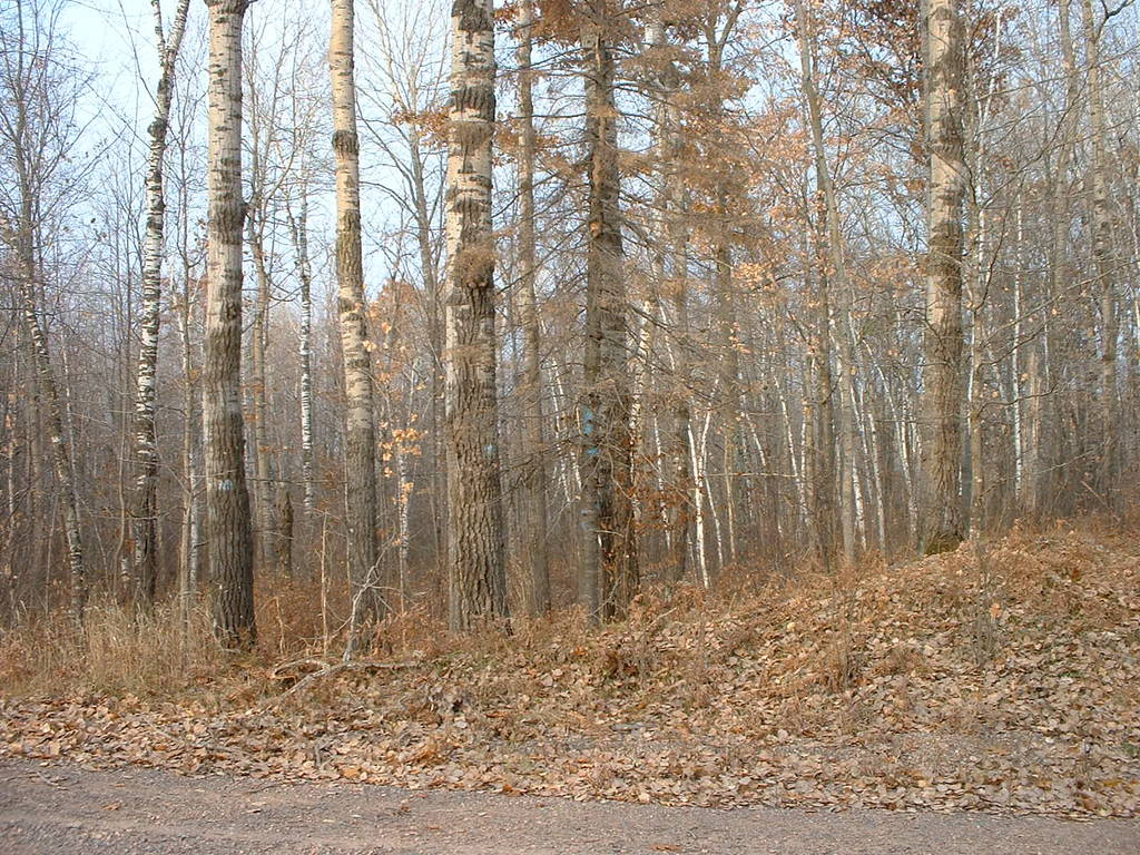
86 shows the road down the county line that lies along the
west side of the property. The pavement stops when the road
turns the corner to head east.
88 shows one of the several deer we spooked while exploring.
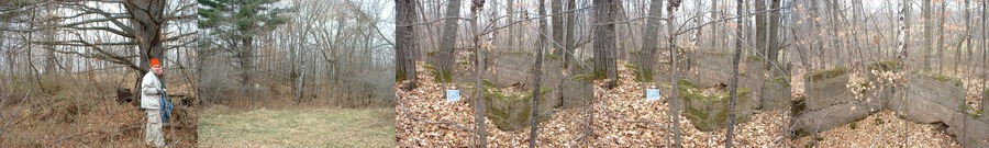
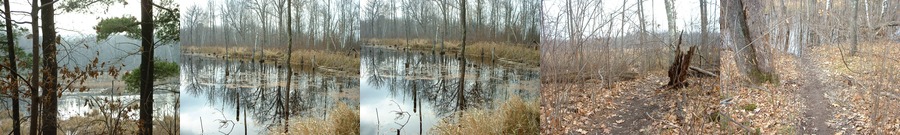
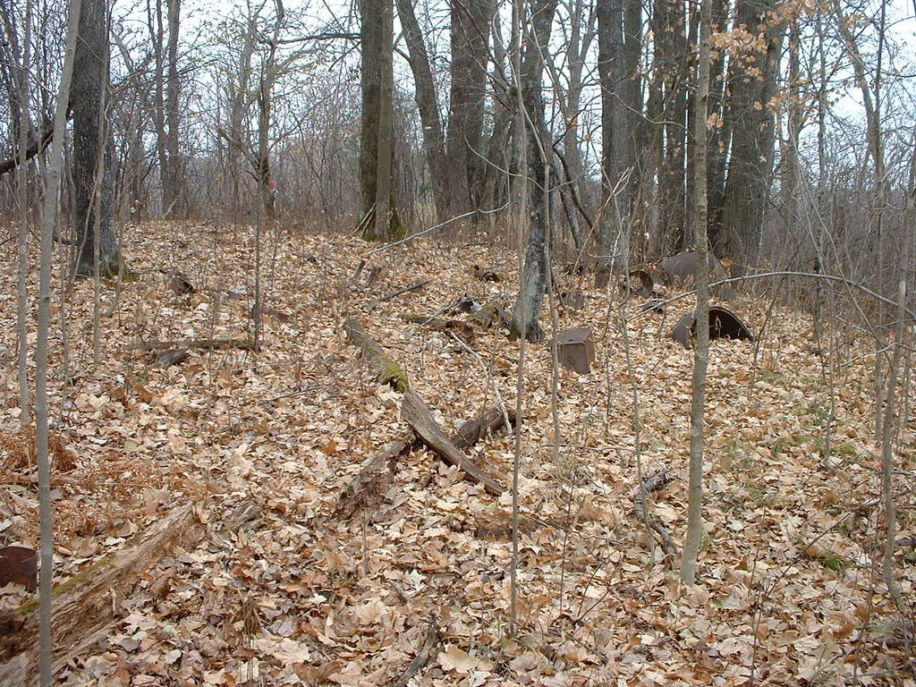
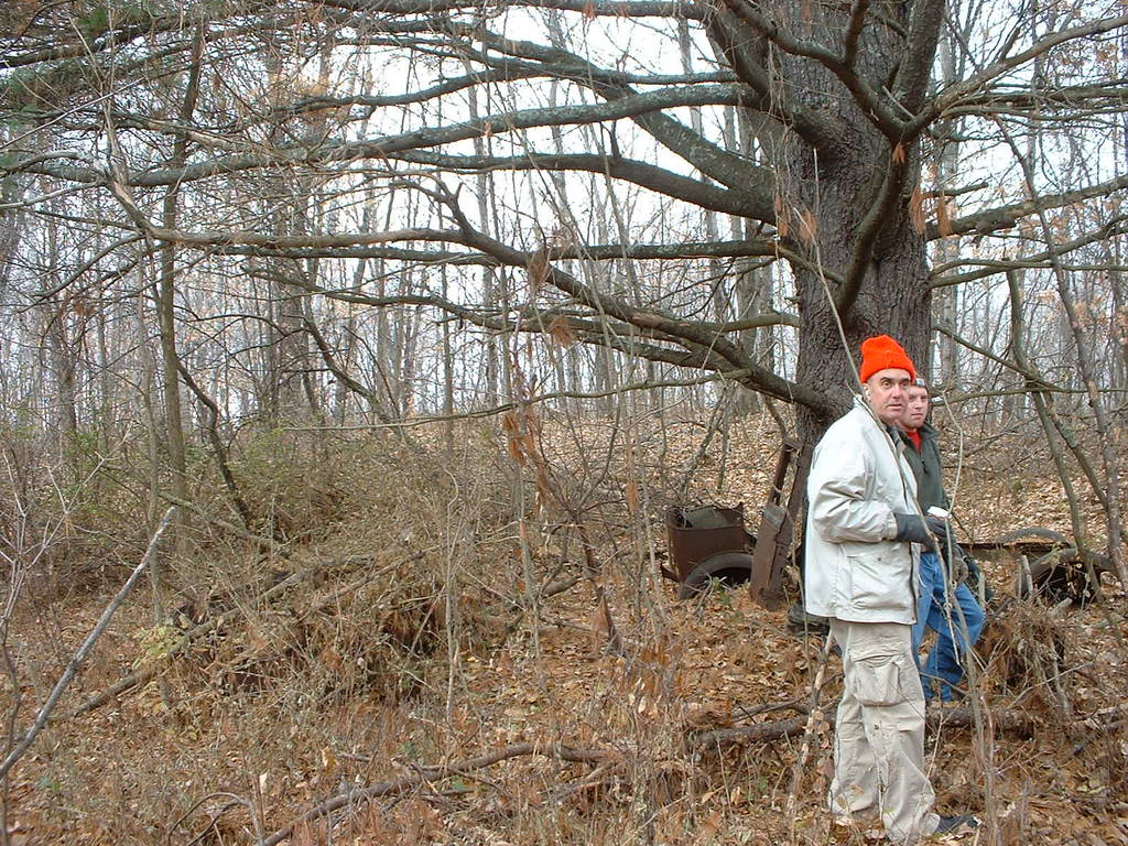
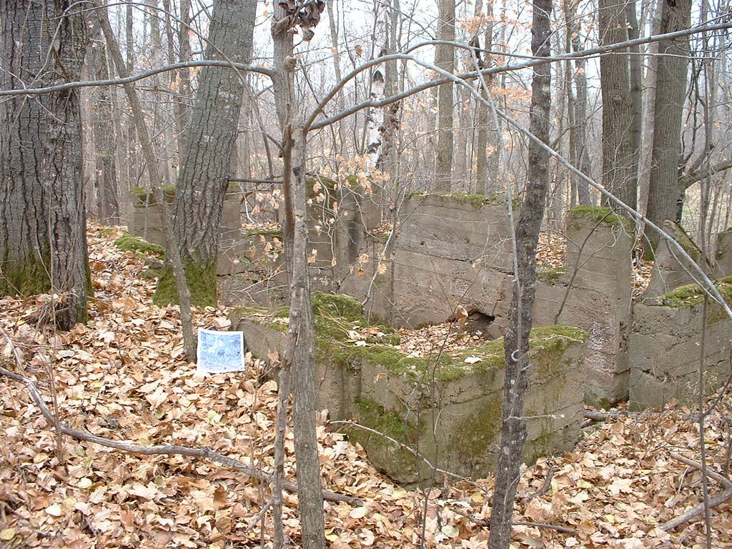
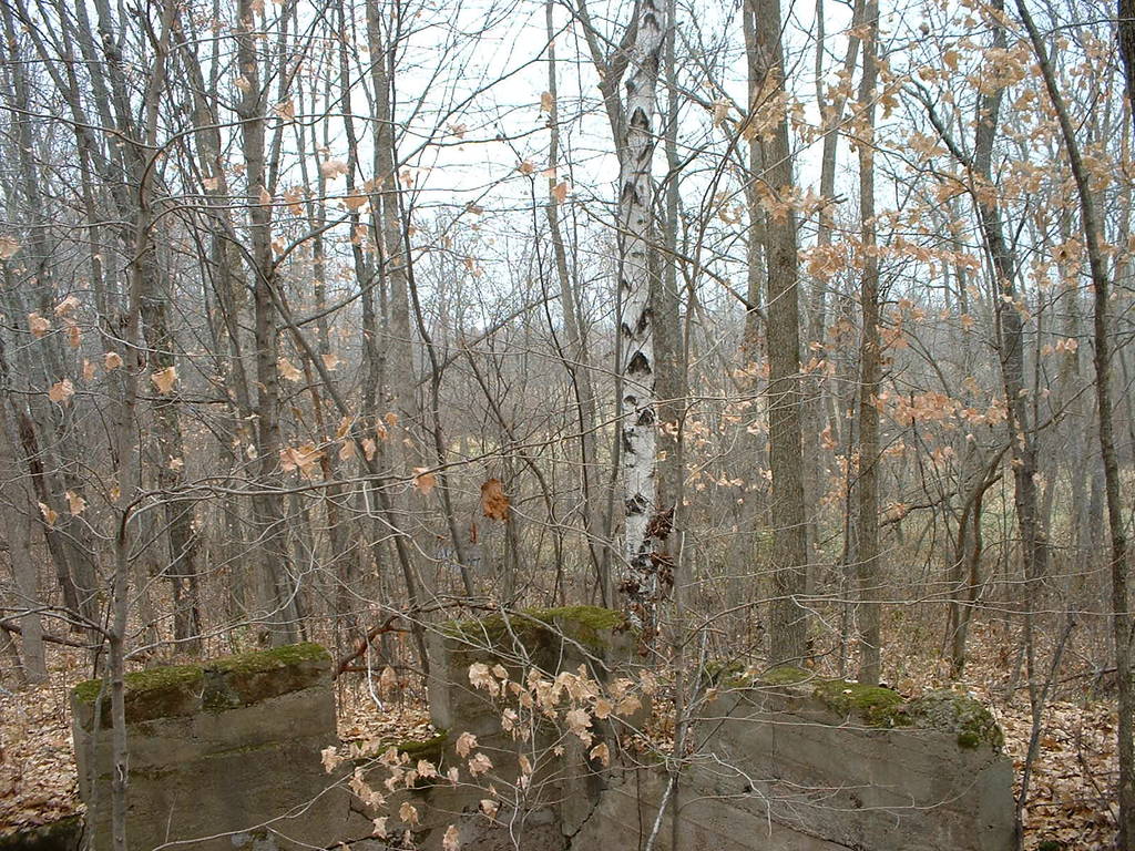
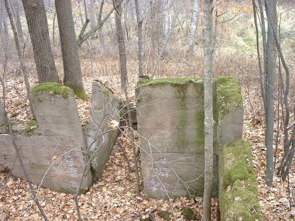
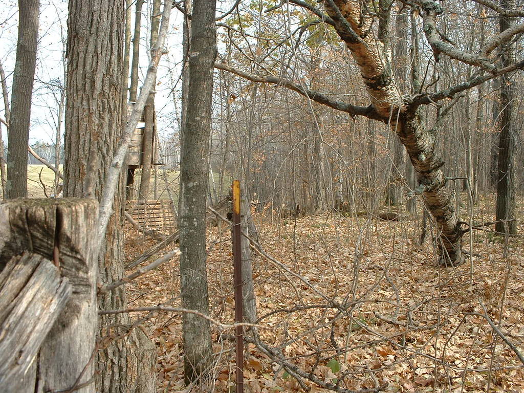
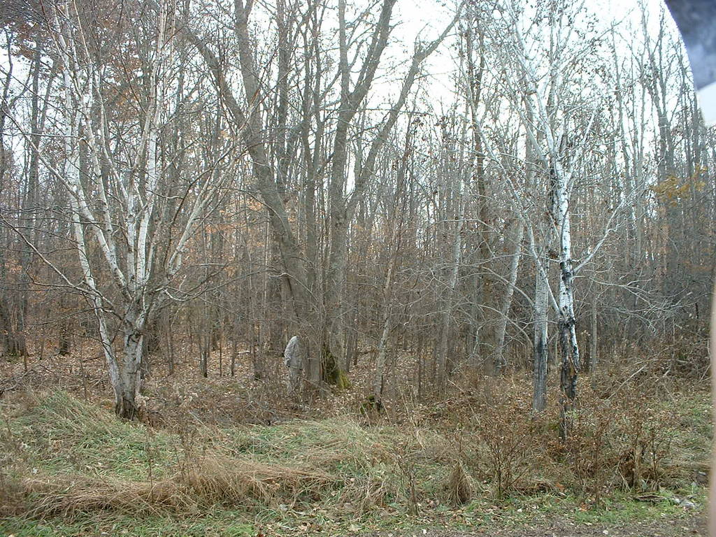
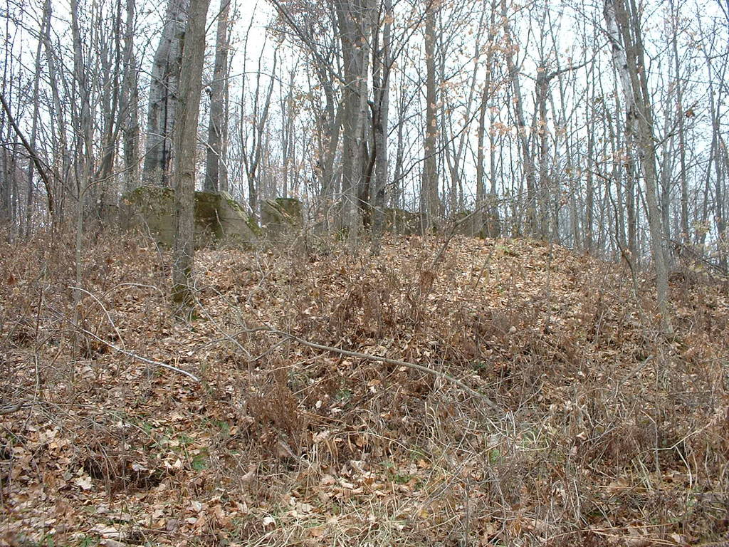
109-118 show the foundation of the old homestead. A road used
to lead west from the homestead to the county line road, but
despite repeated efforts we couldn't find any trace of the road
except a cut bank, right next to the foundation.
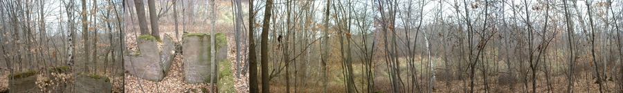
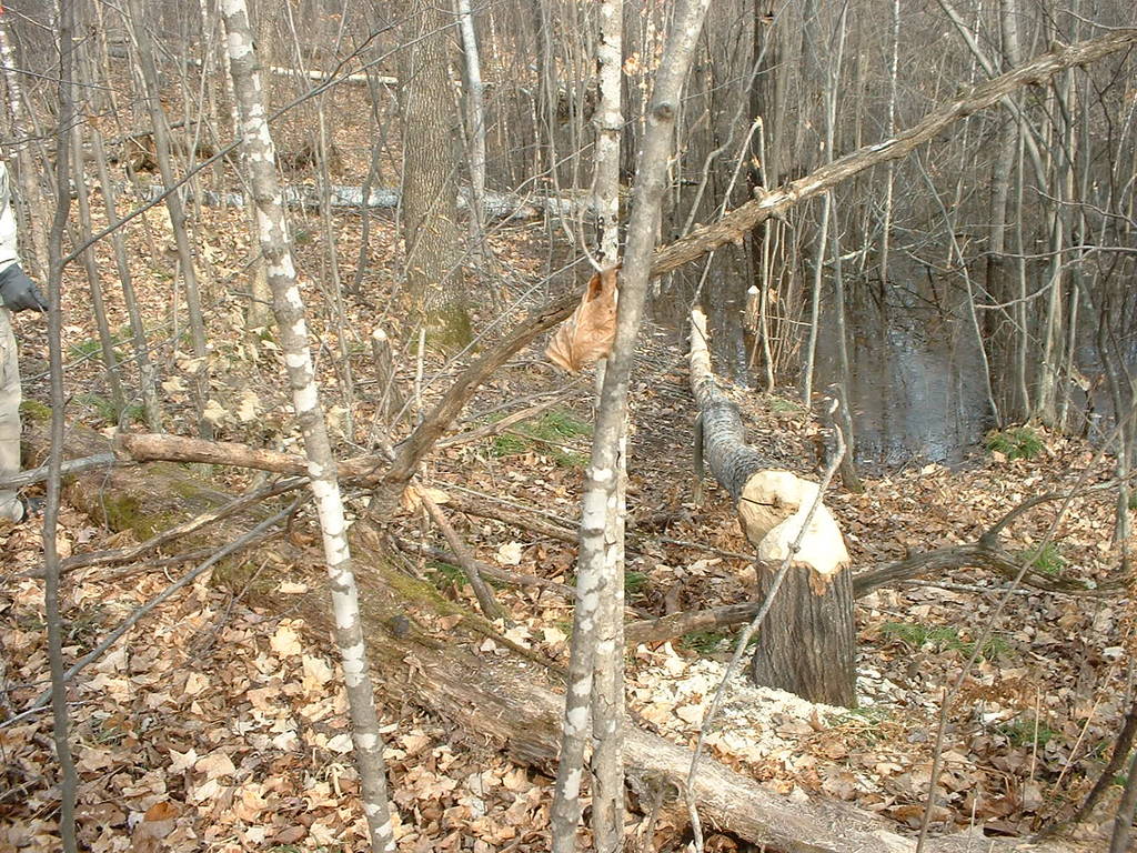
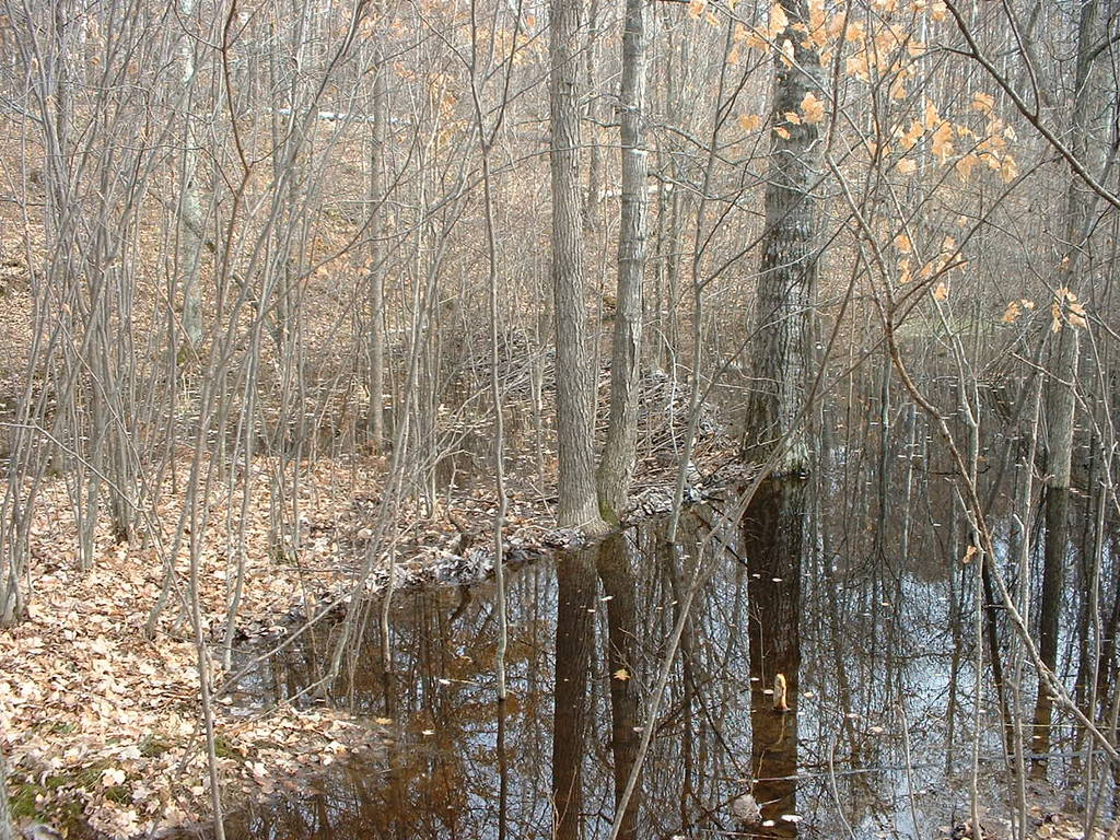
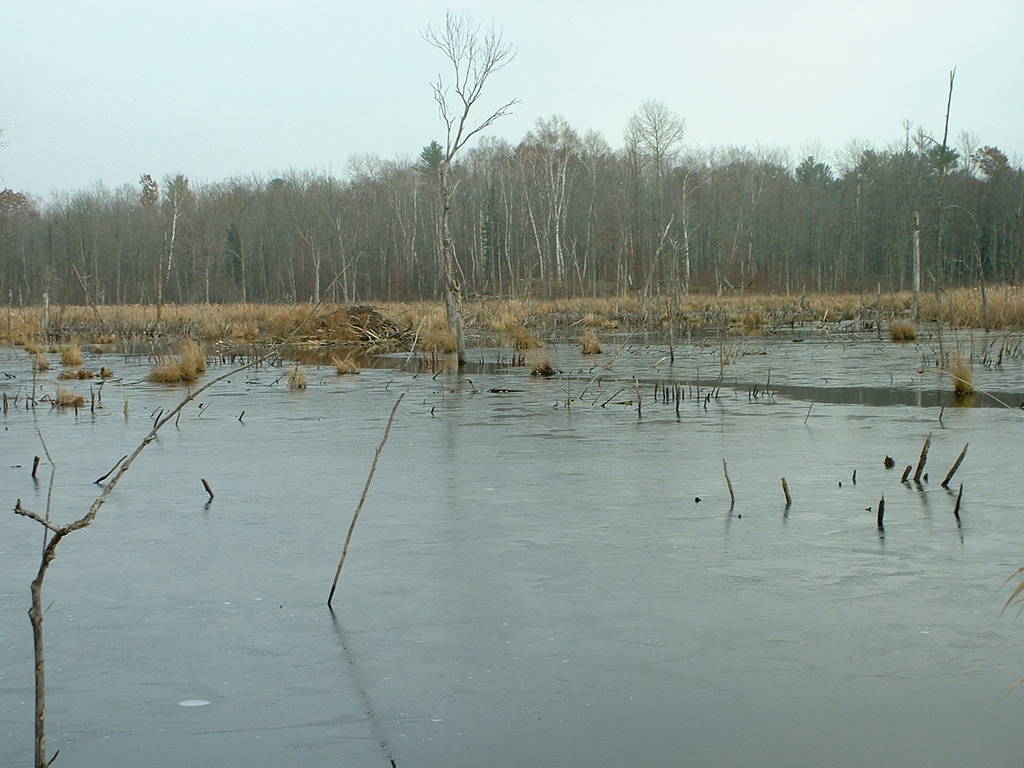
119-124 show the extensive beaver activity along the north side,
just west of the nice ridge.
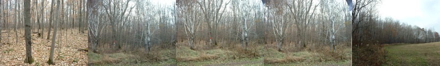
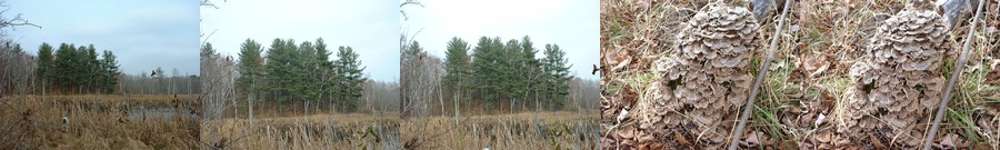
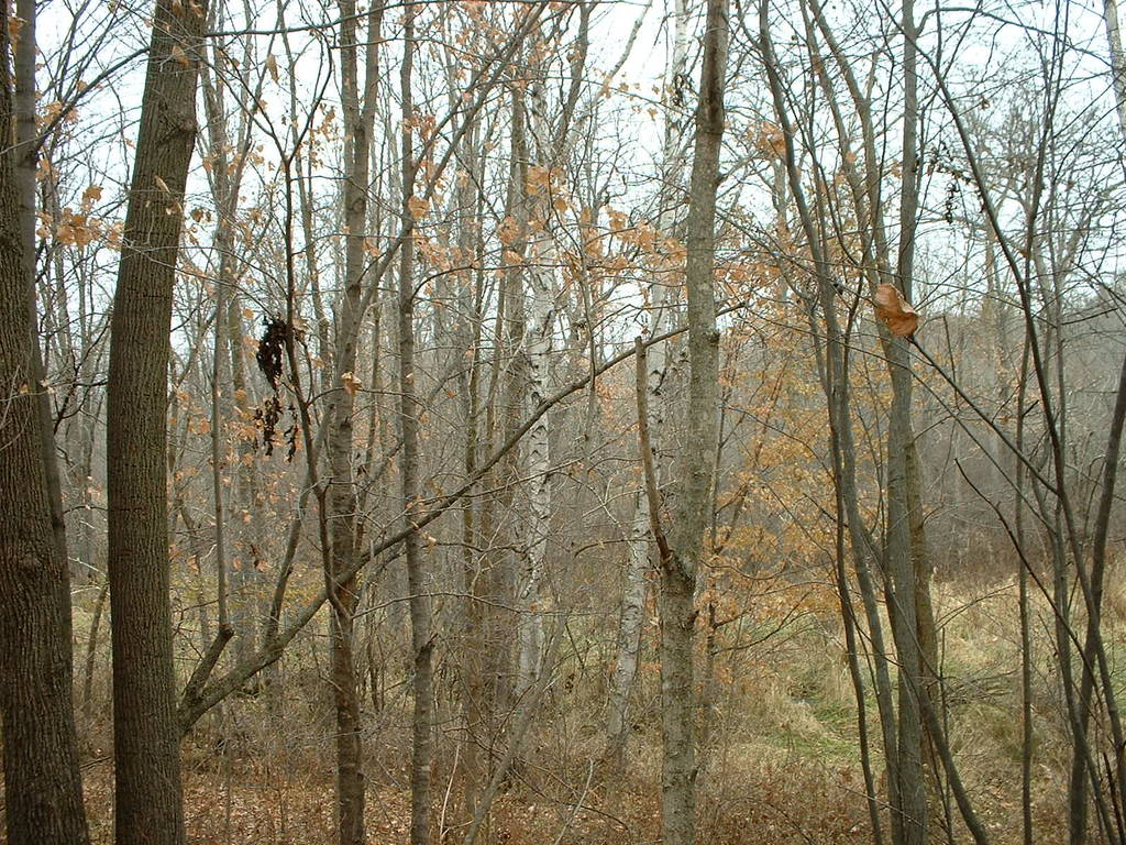
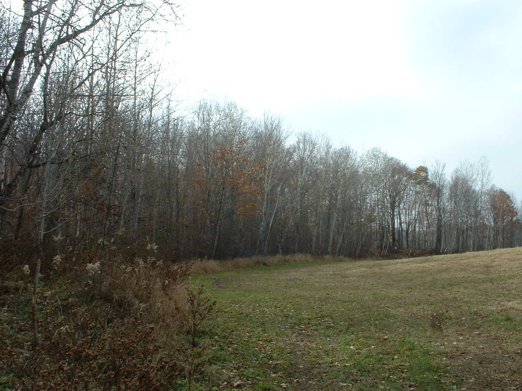
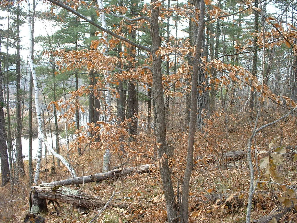
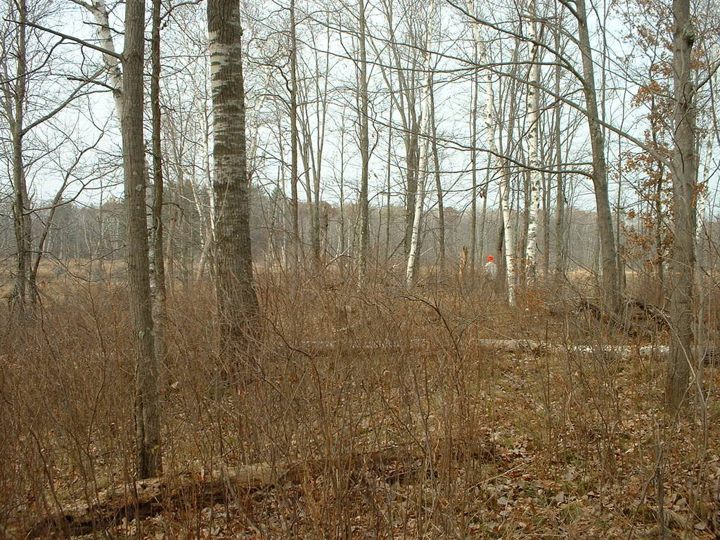
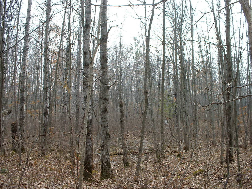
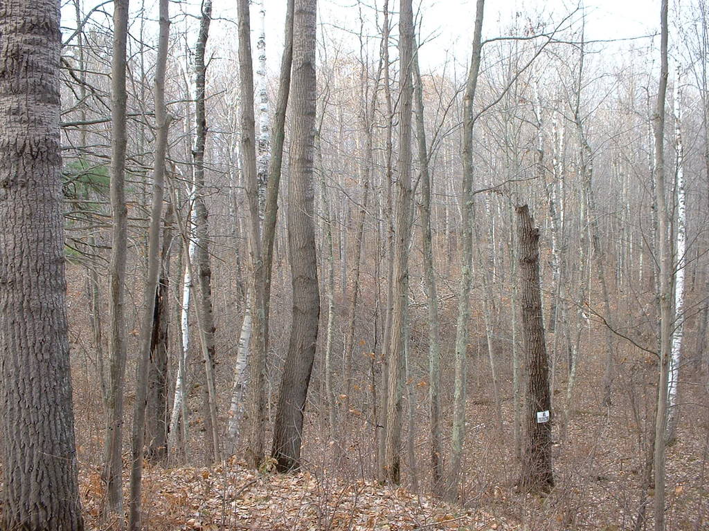
125-132 show the nice ridge that lies in the northeast corner of
the land, and borders on a hayfield.
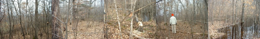
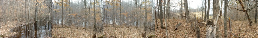
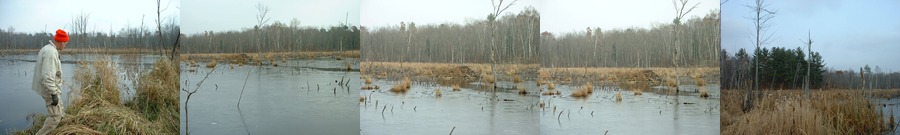
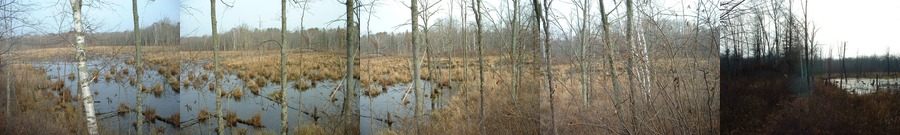
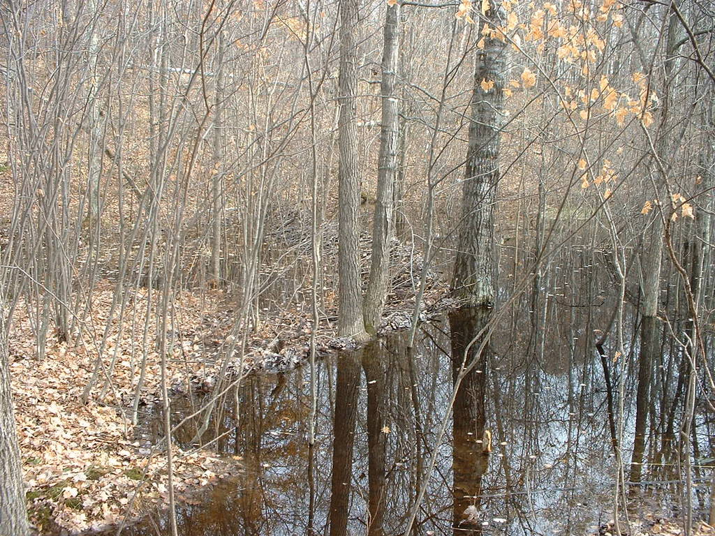
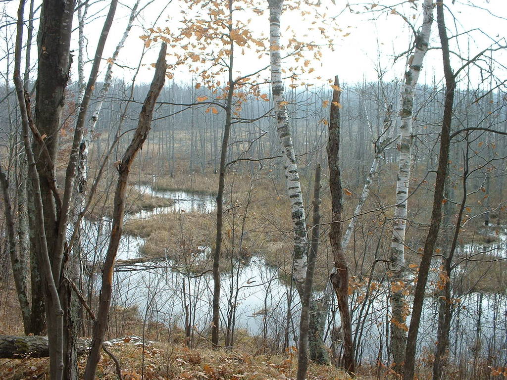
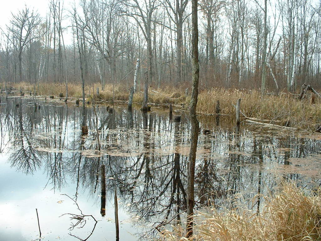
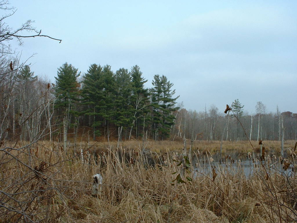
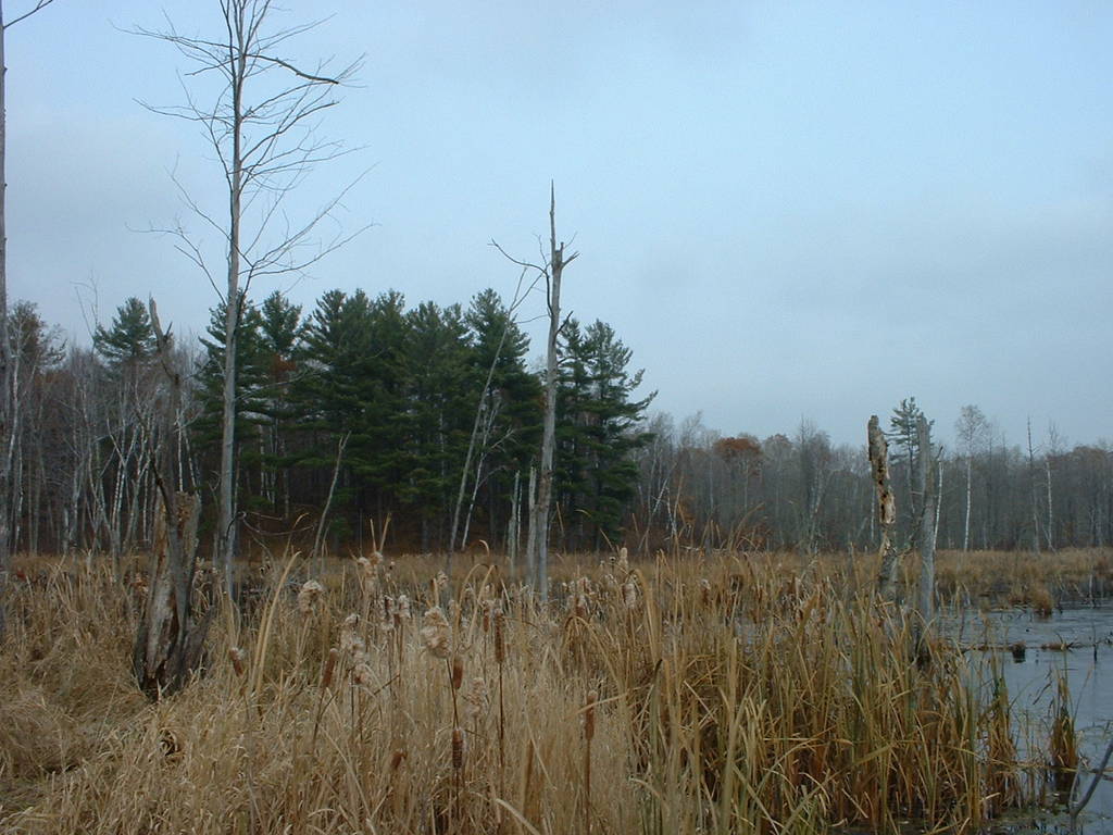
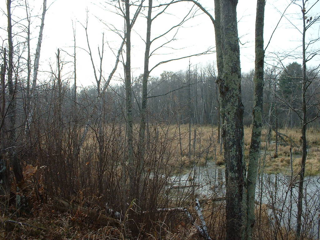
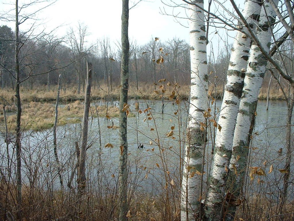
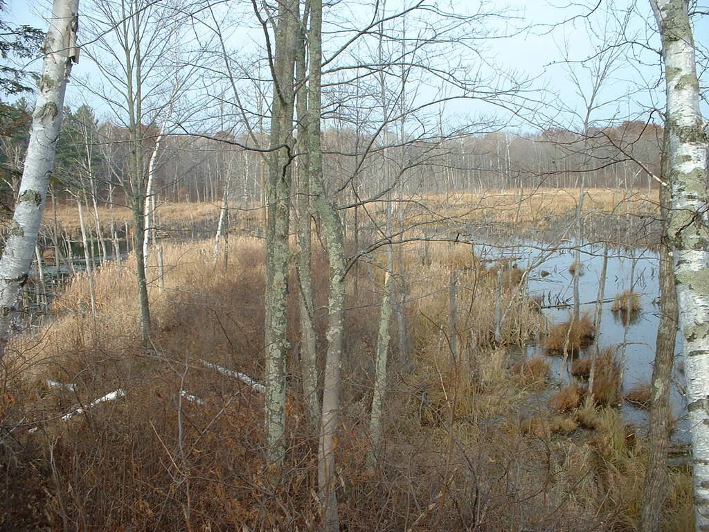
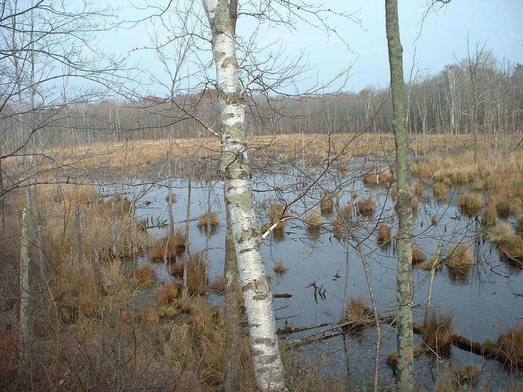
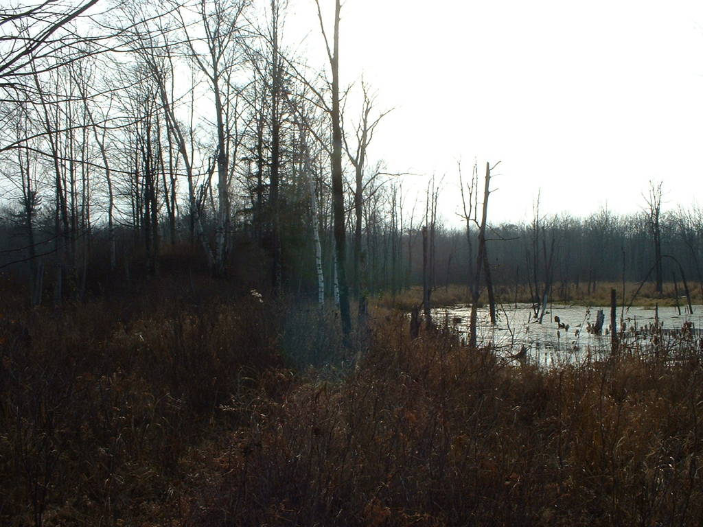
133-145 show the north shore of the large, boggy lake that lies
in the eastern-center part of the land.
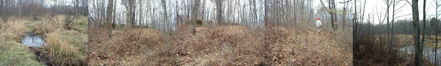
146-147 show the two-foot wide beaver superhighway that connects
the west shore of the main lake to the newer beaver developments
to the north.
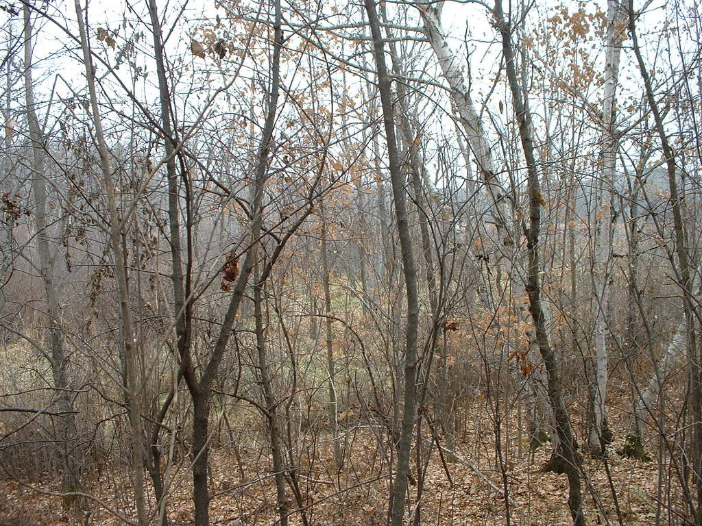
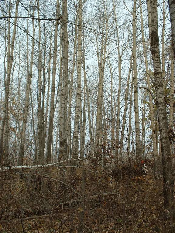
148-150, looking north, shows the trees on the nice ridge.
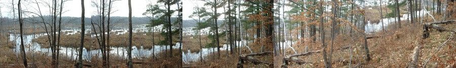
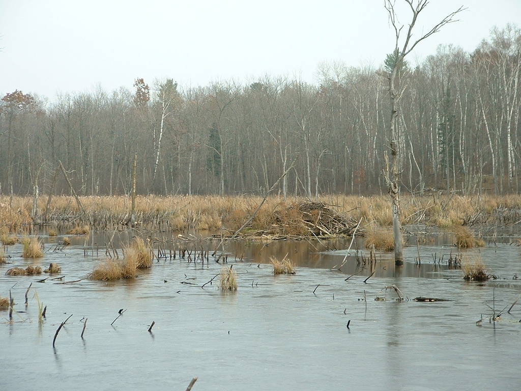
153-159 show the main beaver dam, on the west shore of the lake;
and the main beaver lodge, in the center.
160 shows yet another beaver dam, just north of the foundation.
161 shows the foundation yet again, this time with the road bank
barely visible in the foreground.
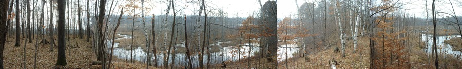
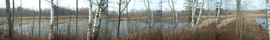
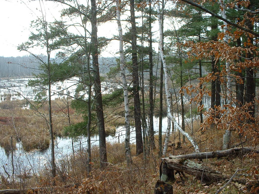
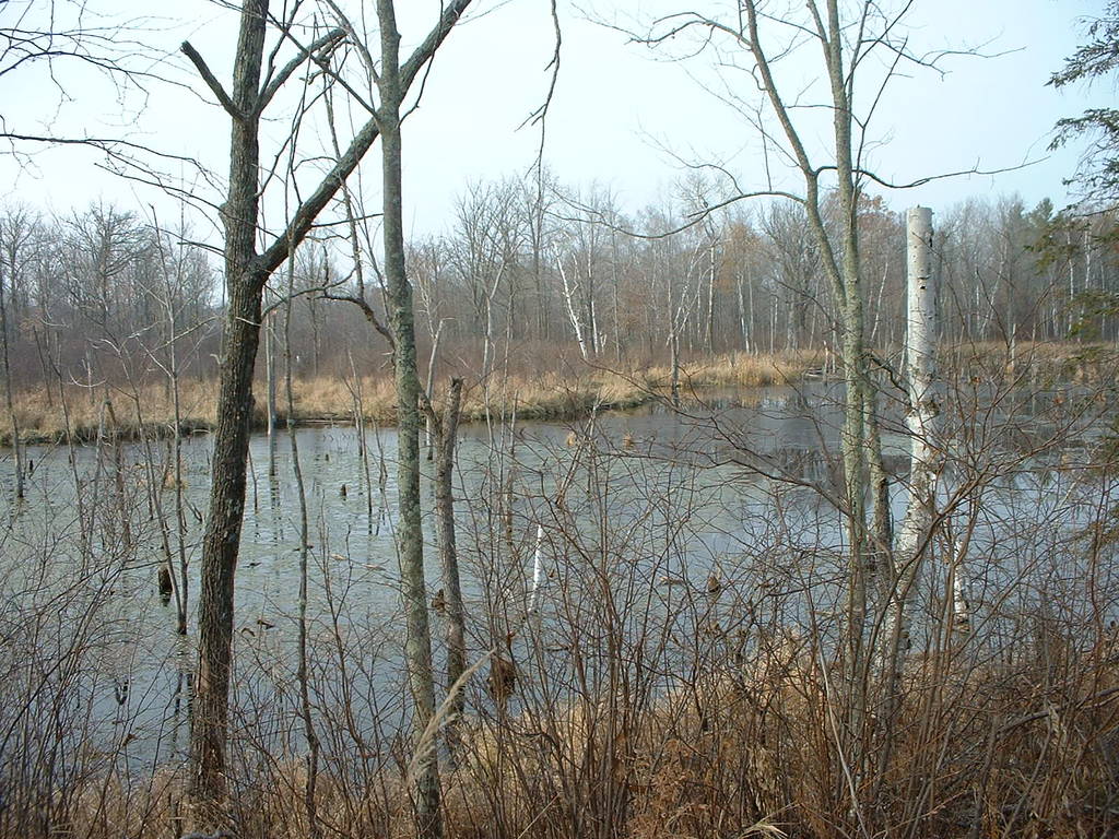
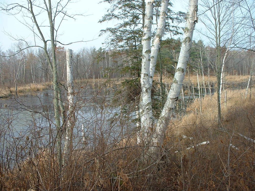
165-174 are a west-north-east panoramic sequence showing the entire
lake from the tiny spit on the southwest shore.
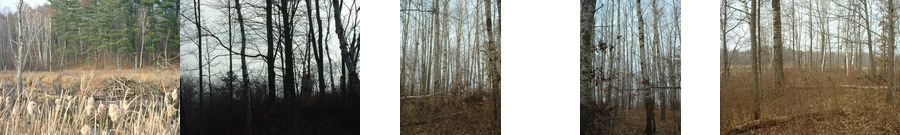
175-177 look south up at the spit.
178-180 show the giant aspen trees on the south bluff.
181 looks up to the giant bluff on the southeast corner of the lot.
182-183 look down from the bluff into the marshy lowland.
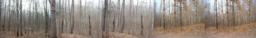
184-188 show the blue spray-painted trees that mark the southern boundary.
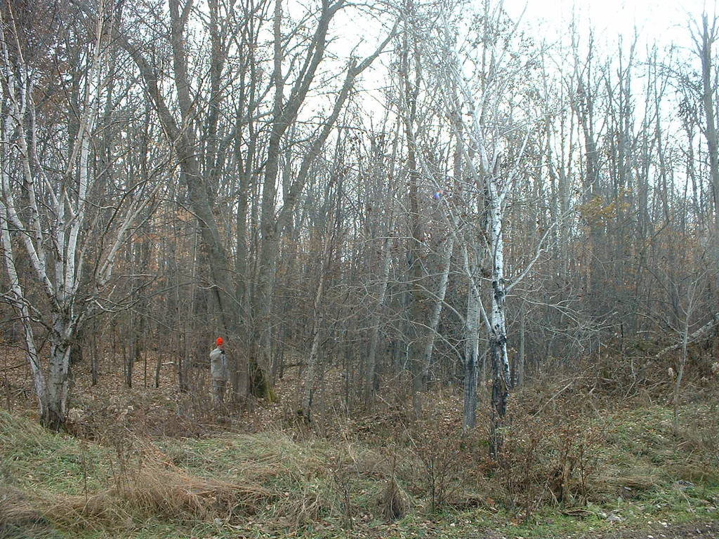
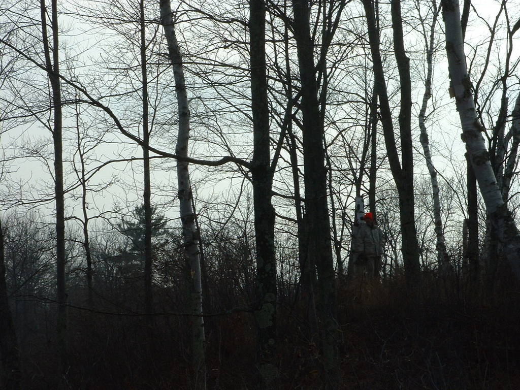
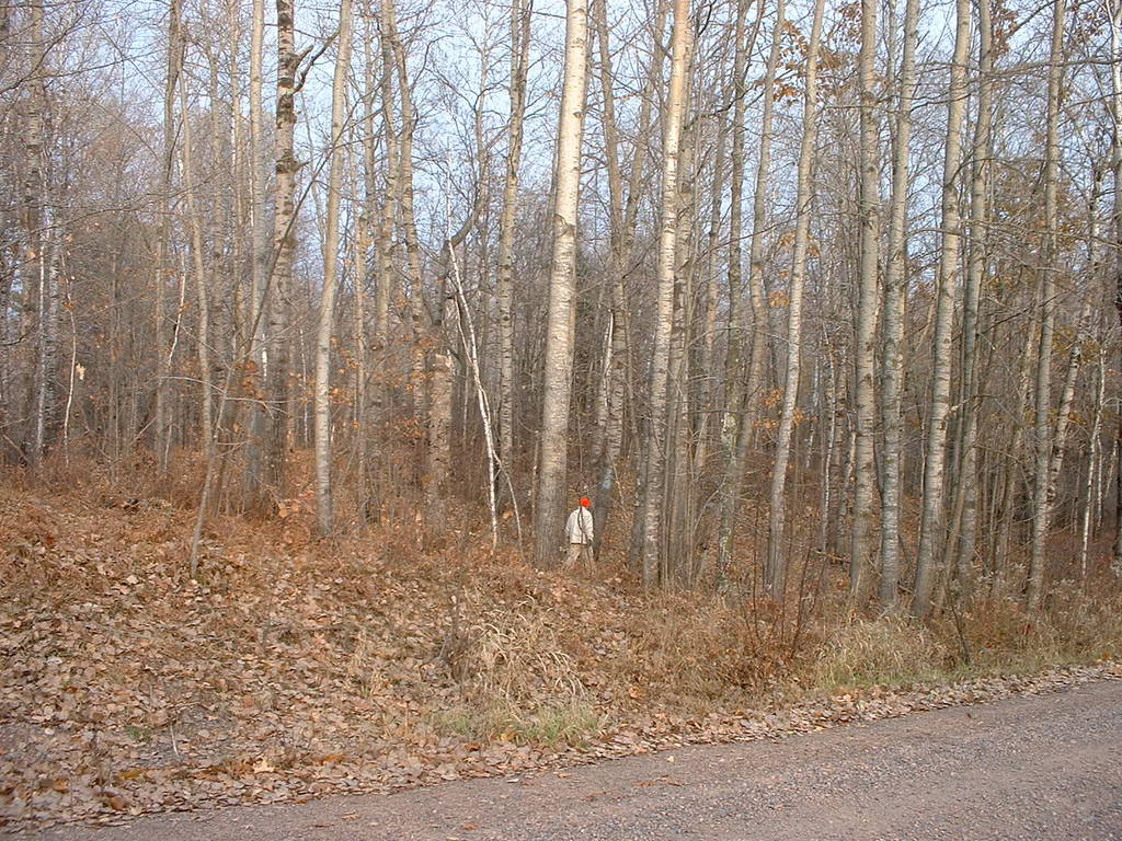
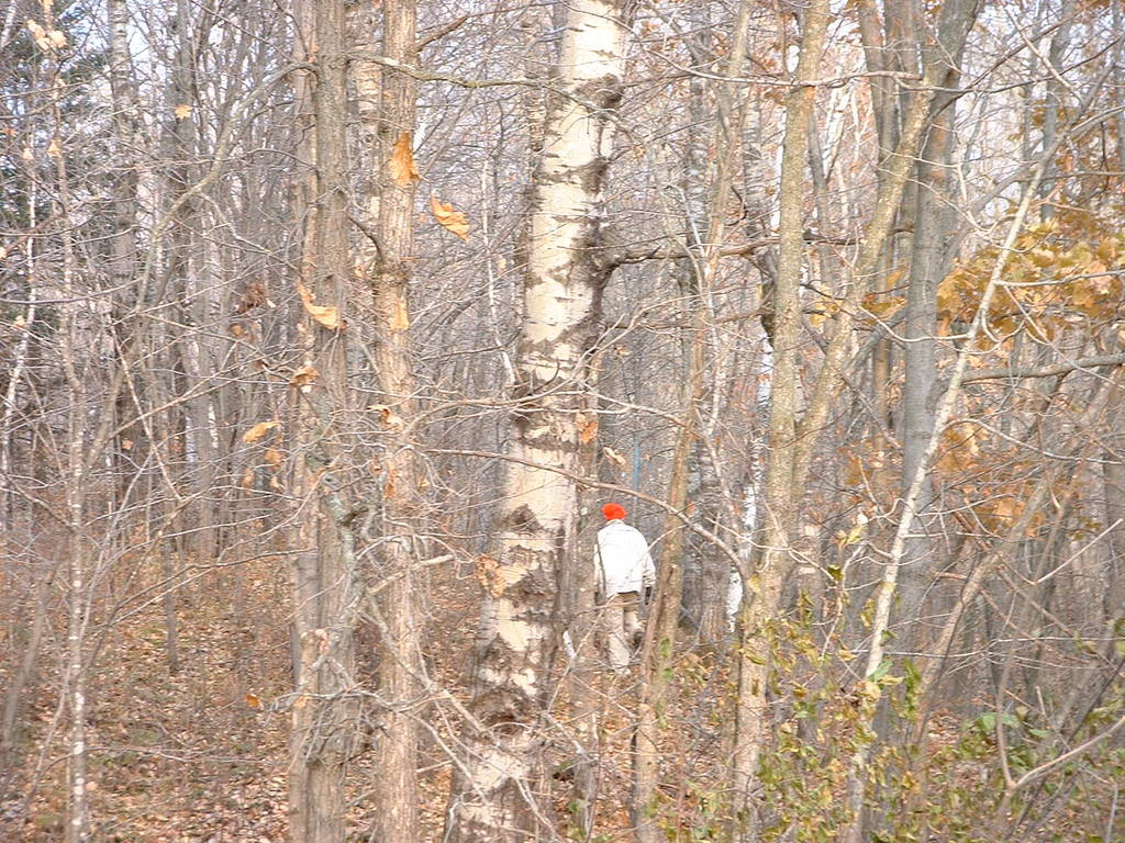
189 shows me, after 5 hours of hiking around.
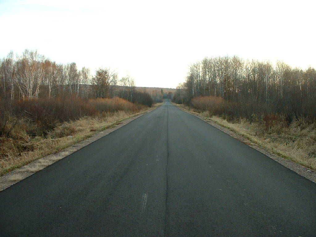
190 shows the county line road curving south, away from our land.
All images taken by Orion Lawlor
and placed completely in the public domain.
Converted to HTML on Wed Aug 31 22:33:47 AKDT 2011.
Back up to Photo Archive
Back up to Orion's Homepage