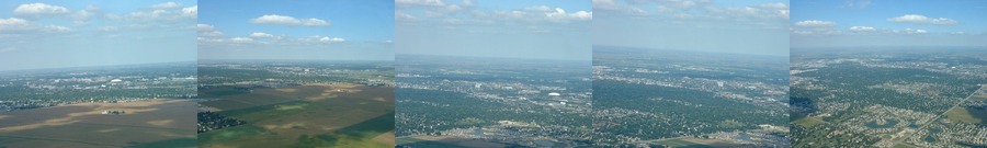
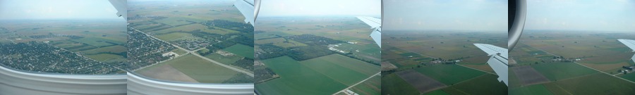
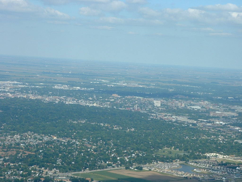
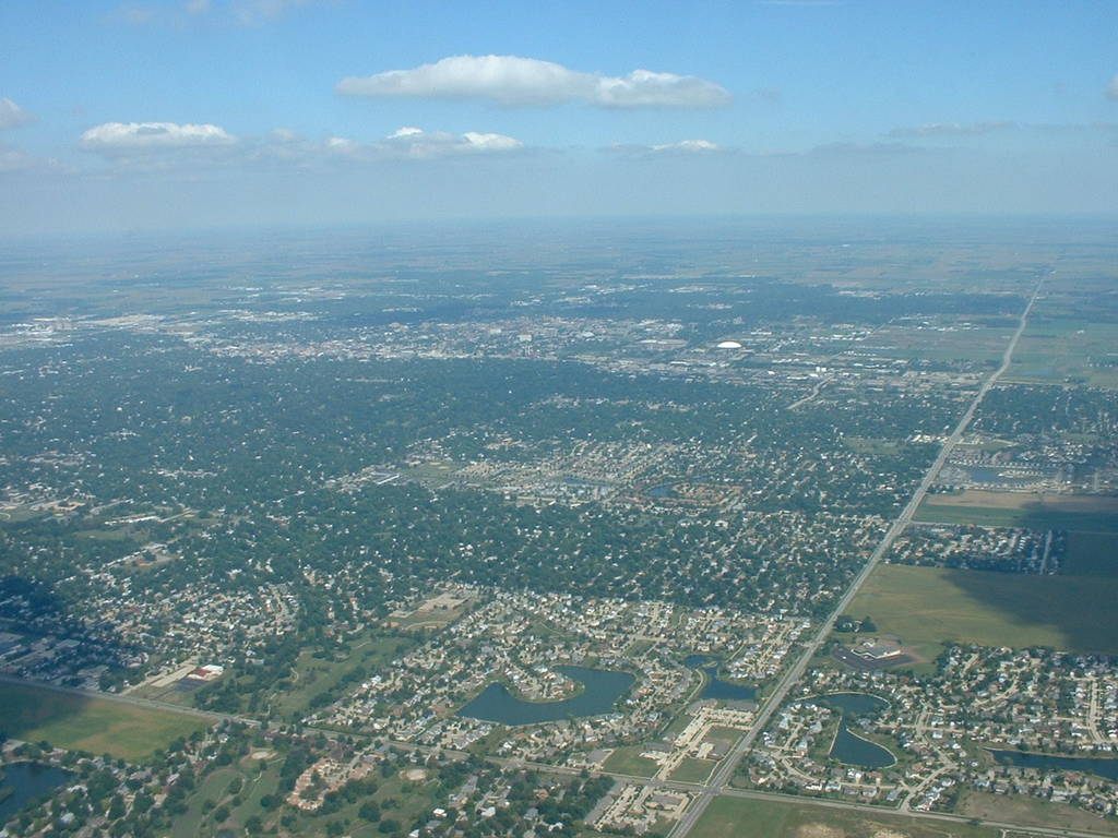
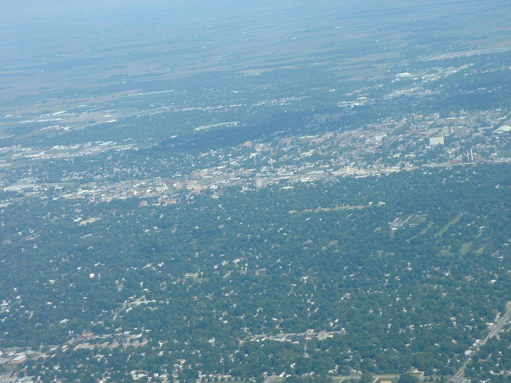
| dscf0001.jpg | dscf0003.jpg | dscf0005.jpg | dscf0006.jpg | dscf0009.jpg |
I took off from Willard Airport, in Savoy, Illinois, this Wednesday, Sept. 11, 2002 at 9 am. I got several reasonably good aerial photos of Champaign on the way up as well as on the return trip.
The weather was hot and humid but reasonably clear, with a few scattered clouds. I was seated on the right side, near the front of the aircraft, so the wing-free shots are facing right-forward. The plane was an Embraer ERJ-145 jet, which according to the web has a crusing speed of 833 km/h (approx 500 mph).
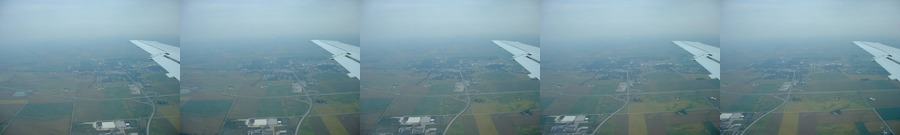
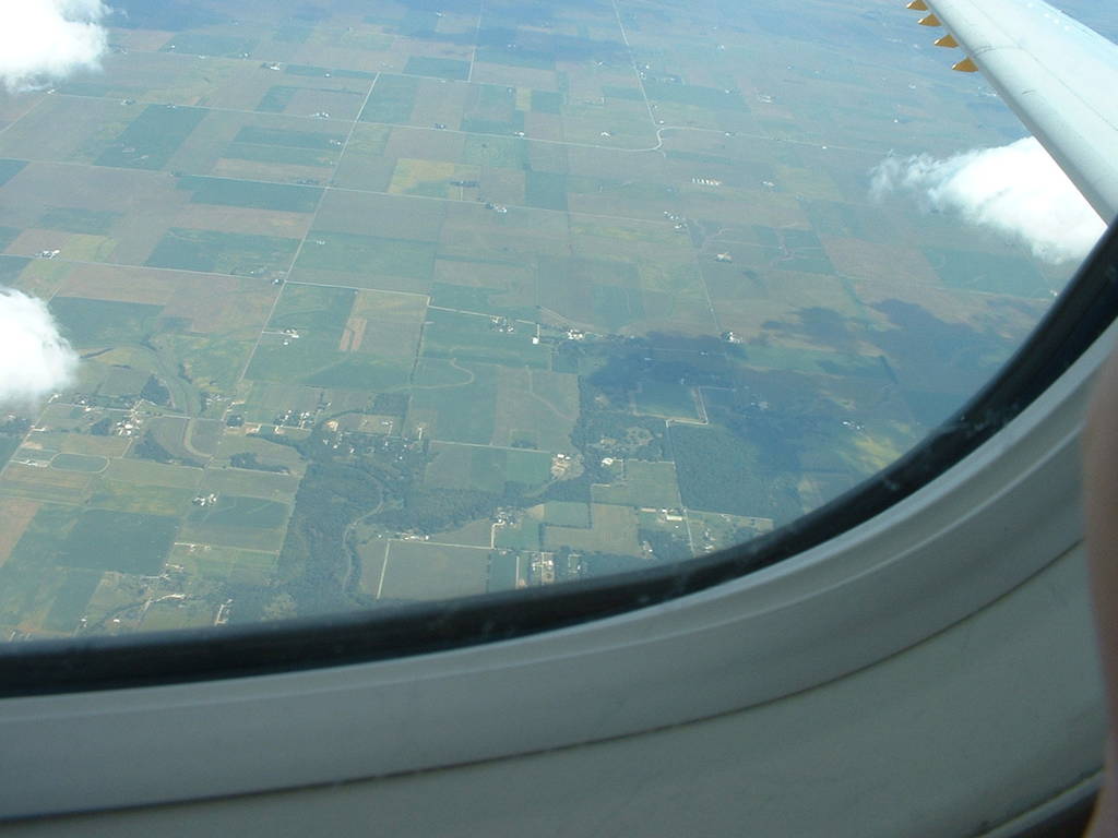
dscf0001-6 are only a few moments after takeoff, looking northeast. The UIUC monuments Assembly hall, the Armory, and the power plant smokestacks are all visible.
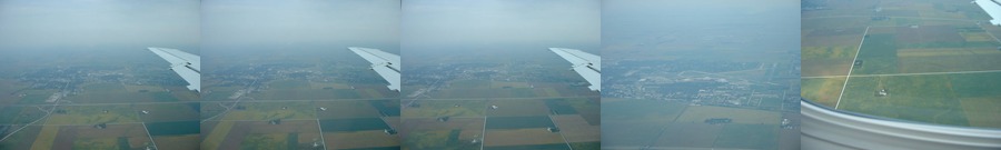
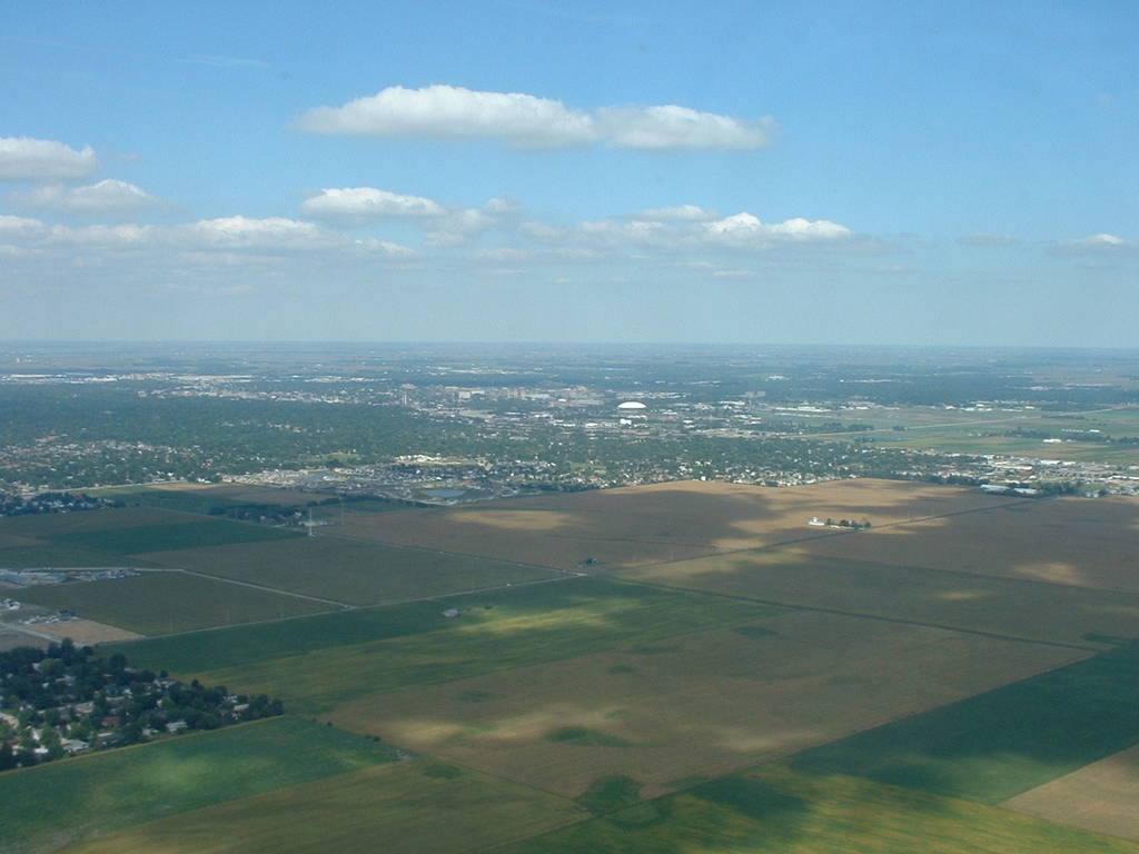
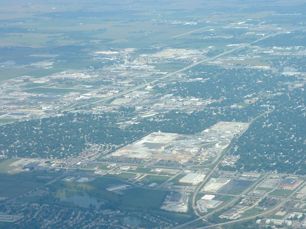
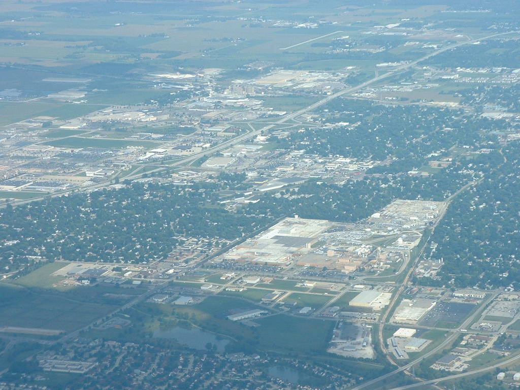
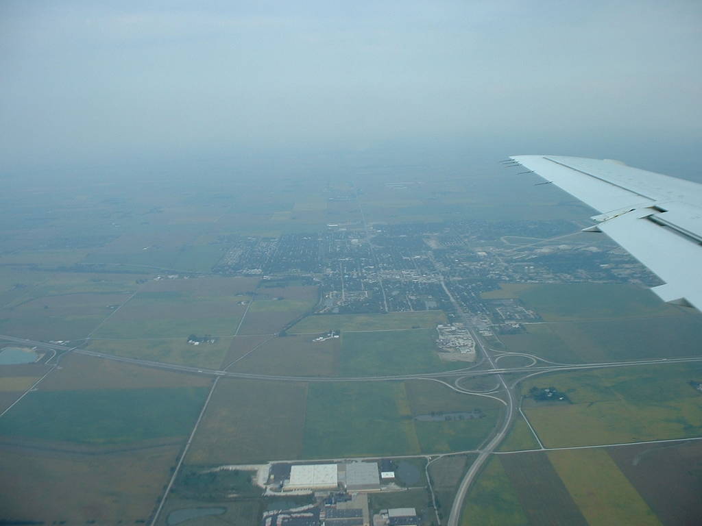
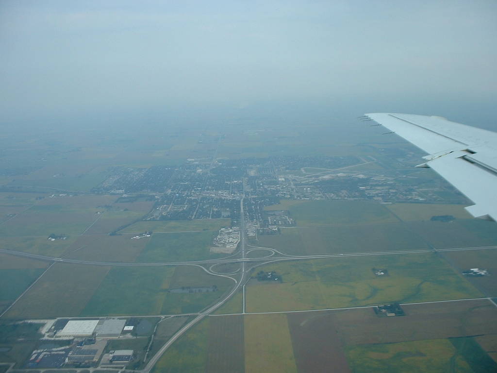
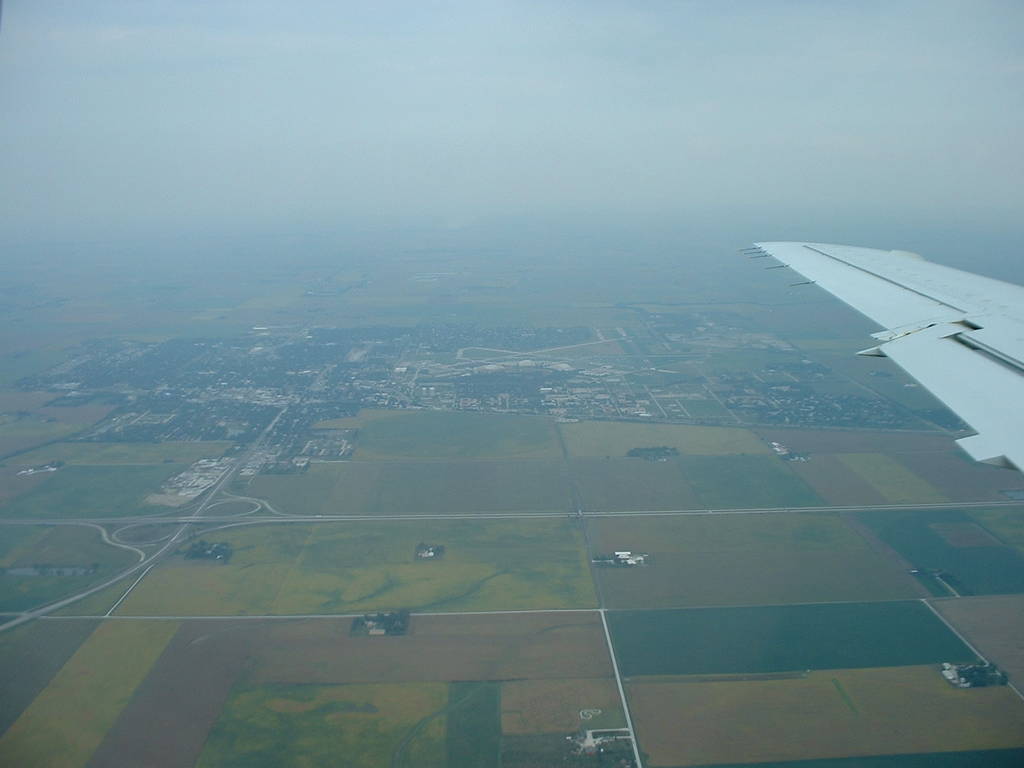
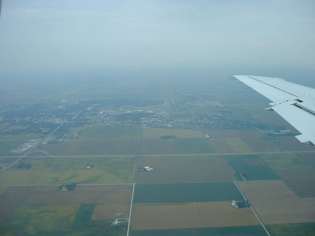
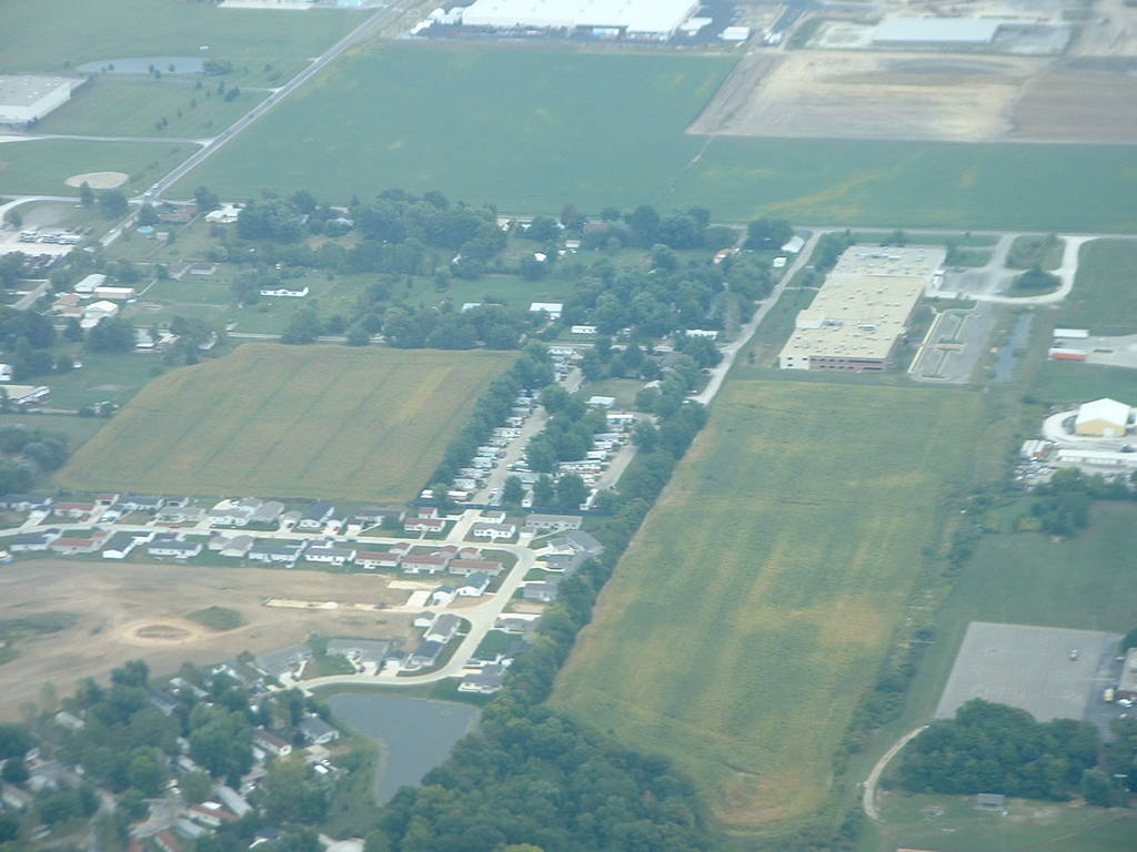
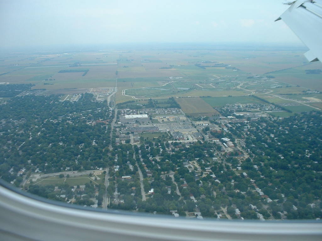
dscf0009-10 show most of Champaign, Illinois facing northeast.
dscf0013 is zoomed in on Springfield and Neil streets in Champaign.
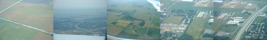
dscf0014 is zoomed in on the 1st street underpass beneath I-74.
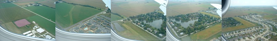
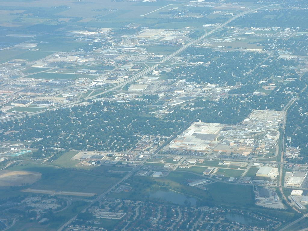
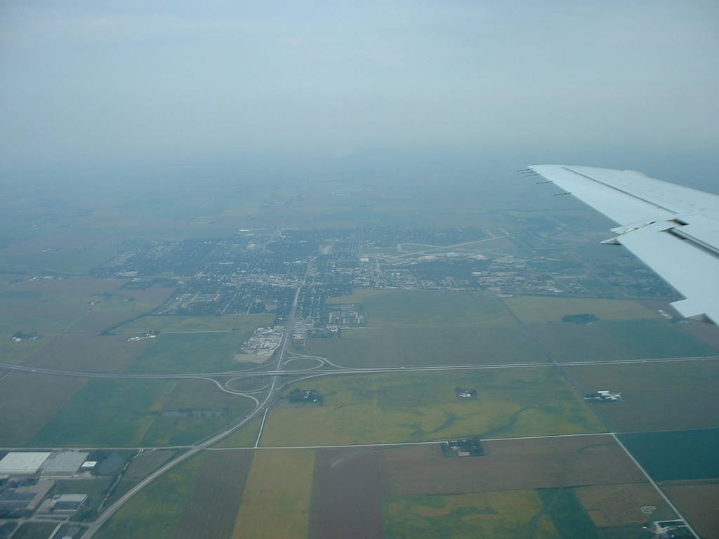
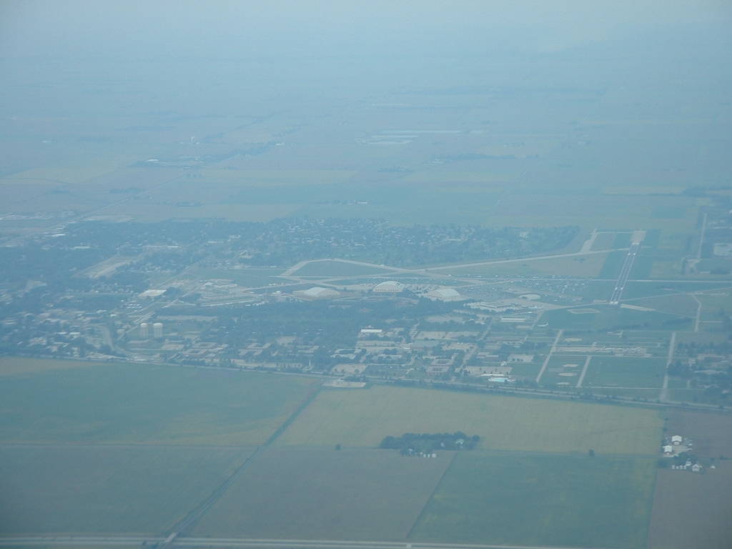
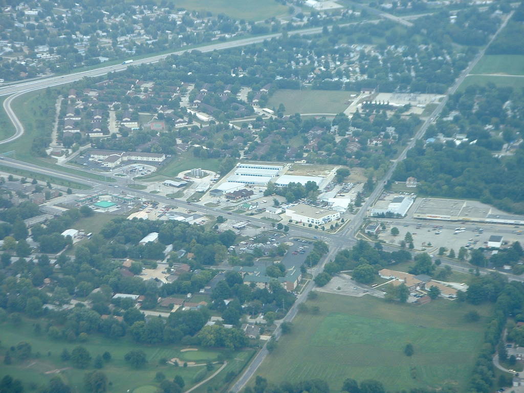
dscf0015 show most of north Champaign, centered on the Kraft plant on Mattis and Bradley.
dscf0016-19 are zoomed in on the Kraft plant.
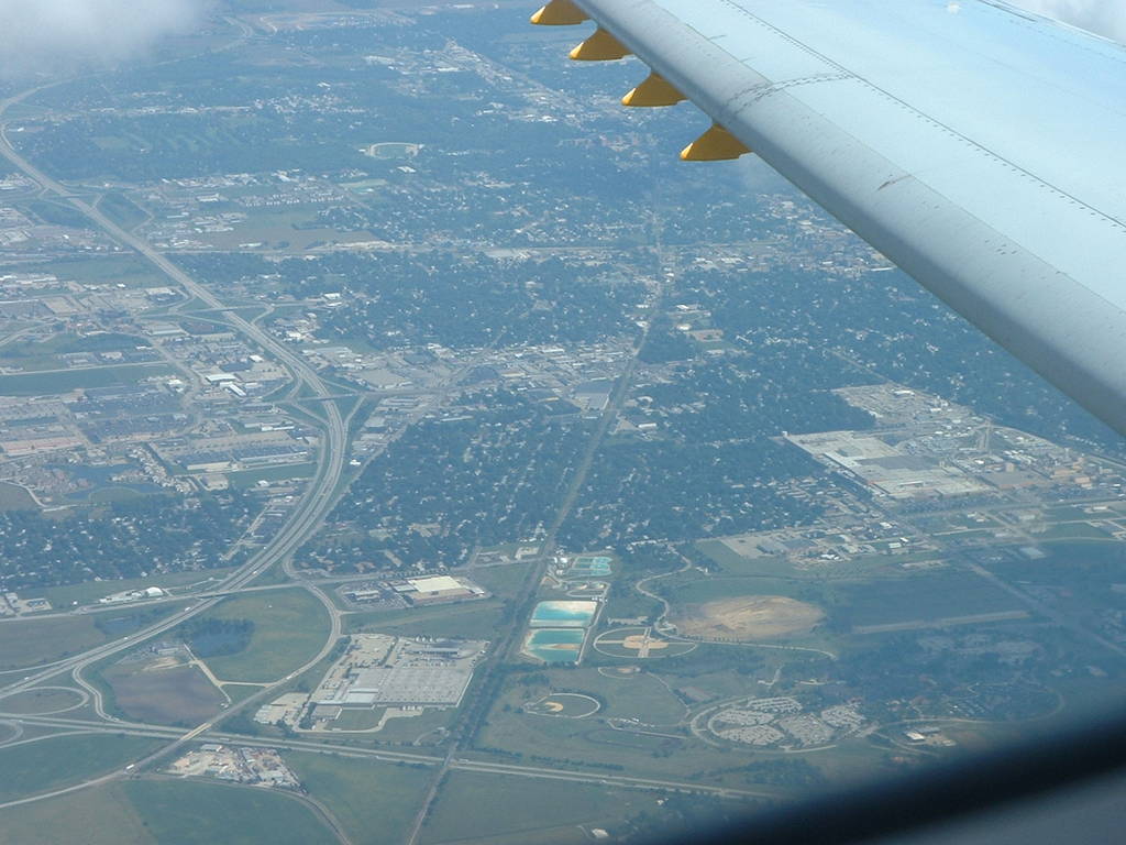
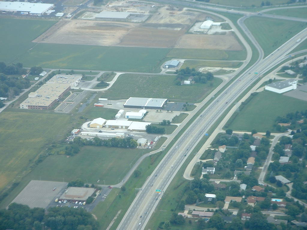
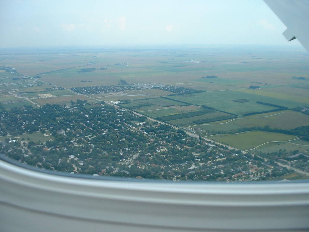
dscf0020 shows us entering a cloud just before crossing I-74. Parkland College is visible in the foreground.
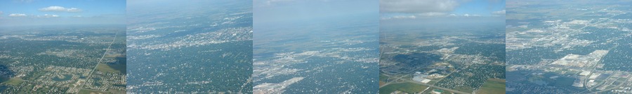
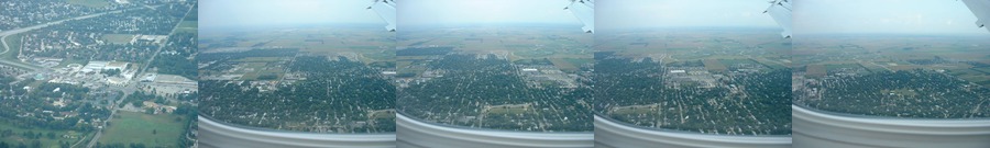
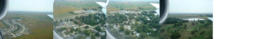
The town in dscf0028 and 29 is Pontiac, Illinois--up to that point, we'd made almost a direct shot toward that town. This implies our heading was perhaps 20 degrees west of north (340 degrees easting), and we'd actually covered 40 miles in about 10 minutes (240 miles/hour).
Return trip:
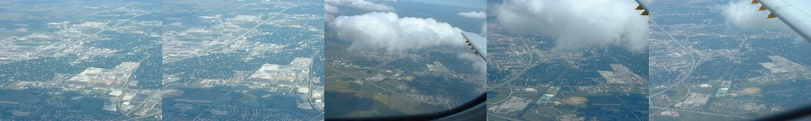
dscf0262-dscf0270 are the town of Rantoul, Illinois as I head south from Chicago back to Champaign. All shots are looking east, curving to east-southeast in the later views.
dscf0276,79,80 are the intersection of I-74 and Cunningham road in Urbana, Illinois, viewed from the west looking east-southeast.
dscf0277 is the saline branch on north lincoln avenue in Urbana.
dscf0281 is the intersection of Cunningham and Perkins.
dscf0287 is most of eastern Urbana. The county recorder's office on East Washington street is in the red building on the south side of the clearing to the left of center.
dscf0288 is southeastern Urbana. Wiley school is in the foreground, and Florida avenue heads east up the right center.
dscf0291 is southern Urbana. East Windsor road runs eastward diagonally across the frame, meeting up with south Vine street at Meadowbrook park.
dscf0292 is a closeup of Clark-Lindsey Village and Meadowbrook park, at the intersection of Florida and Race streets.
dscf0293 is looking southeast at the Sherwin drive subdivision in southern Urbana, just off the corner of Meadowbrook park.
dscf0294 and 95 are university buildings on Curtis road-- the wildfire research lab and aviary.
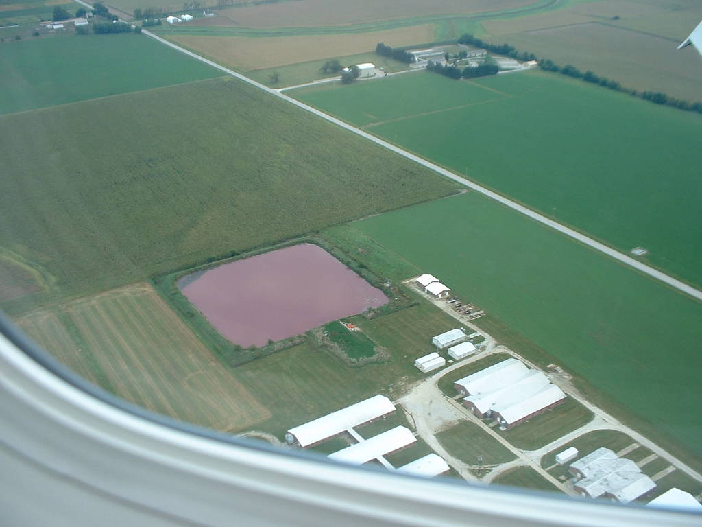
dscf0296 is another university building and horrific purple pond just northeast of the instersection of First and Curtis.
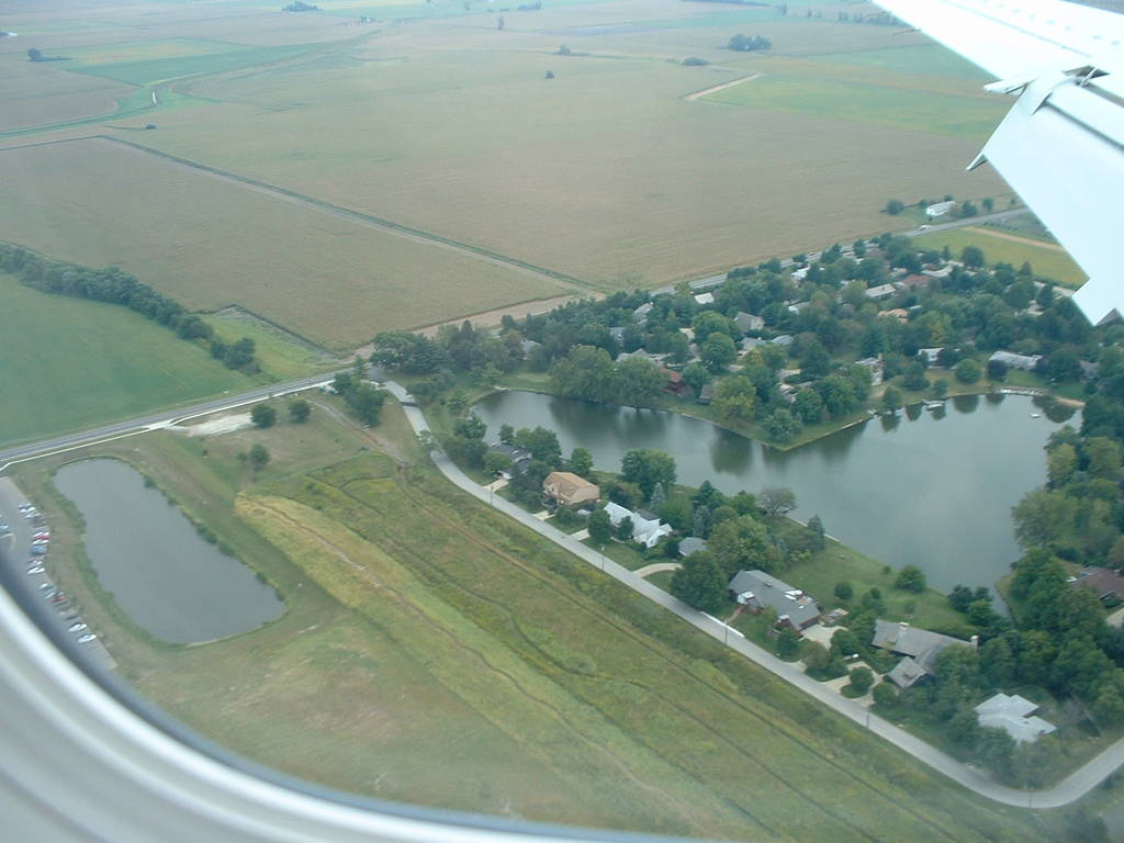
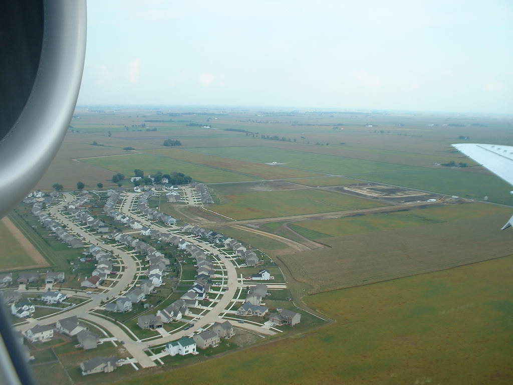
dscf0297-301 are a new apartment complex and older subdivisions off the southwest corner of First and Curtis.
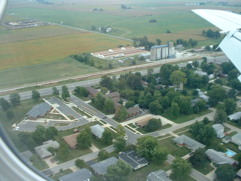
dscf0302-303 is the grain silo on Dunlap (south Neal, state route 25) and Church in Savoy.
dscf0306 is the back side of the Wal-Mart on Dunlap in Savoy. I believe at this point we landed in the southwest facing runway of the Savoy airport.
|
| |||||
|
 | |||||
|
 | |||||
|
 | |||||
|
 | |||||
|
 | |||||
|
 | |||||
|
 | |||||
|
 | |||||
|
 | |||||
|
 | |||||
|