Orion's Photos: places - California - san_francisco - 2005 - tour
Download these pictures
I spent most of Sunday, April 3, 2005 and parts of the
following Monday and Tuesday driving around the east
side of San Francisco bay. I was in the area for a
NSF Grant writing conference in Oakland, which I attended
with fellow UAF professor Glenn Chappell.
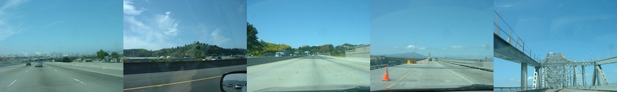
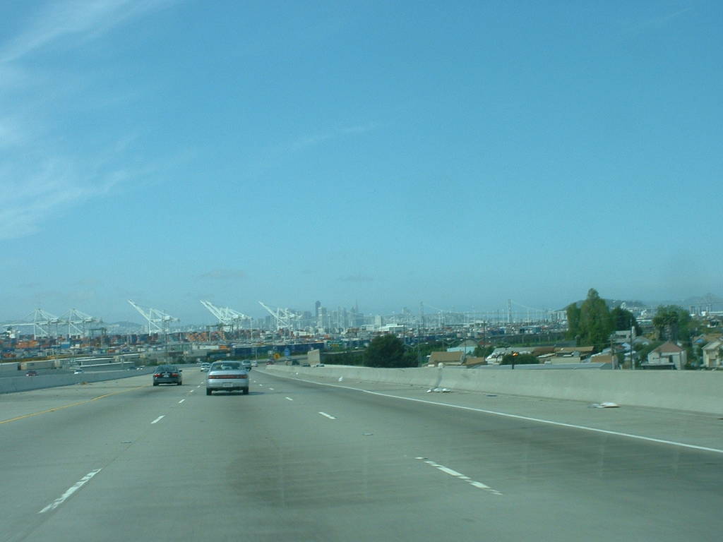
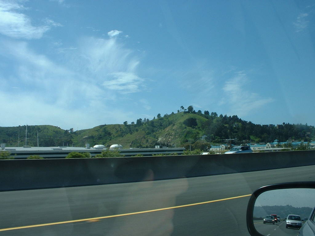
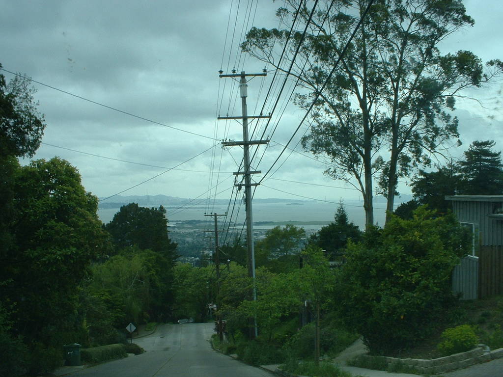
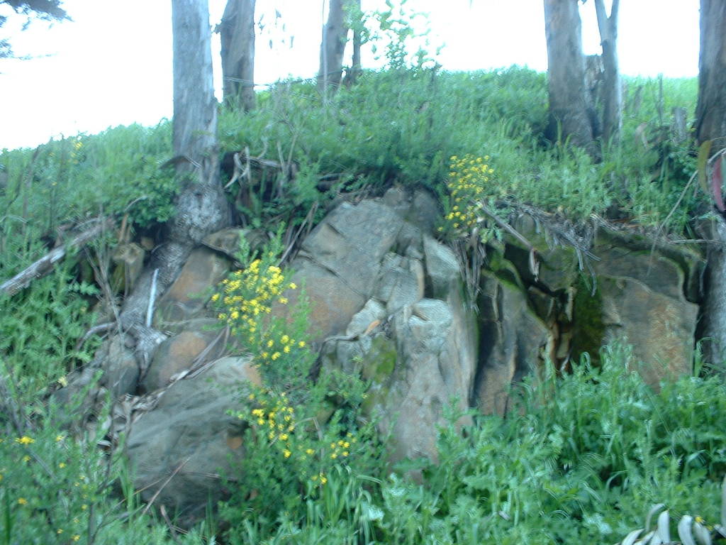
The first thing to note about San Francisco is of course the
steepness. Some of the roads [274] lie at what feels like
about a 45 degree angle, although it's actually probably no
more than 20 degrees. The reason for all this is the bedrock
[275-276], which is shoved up as Los Angeles grinds northward
along the San Andreas.
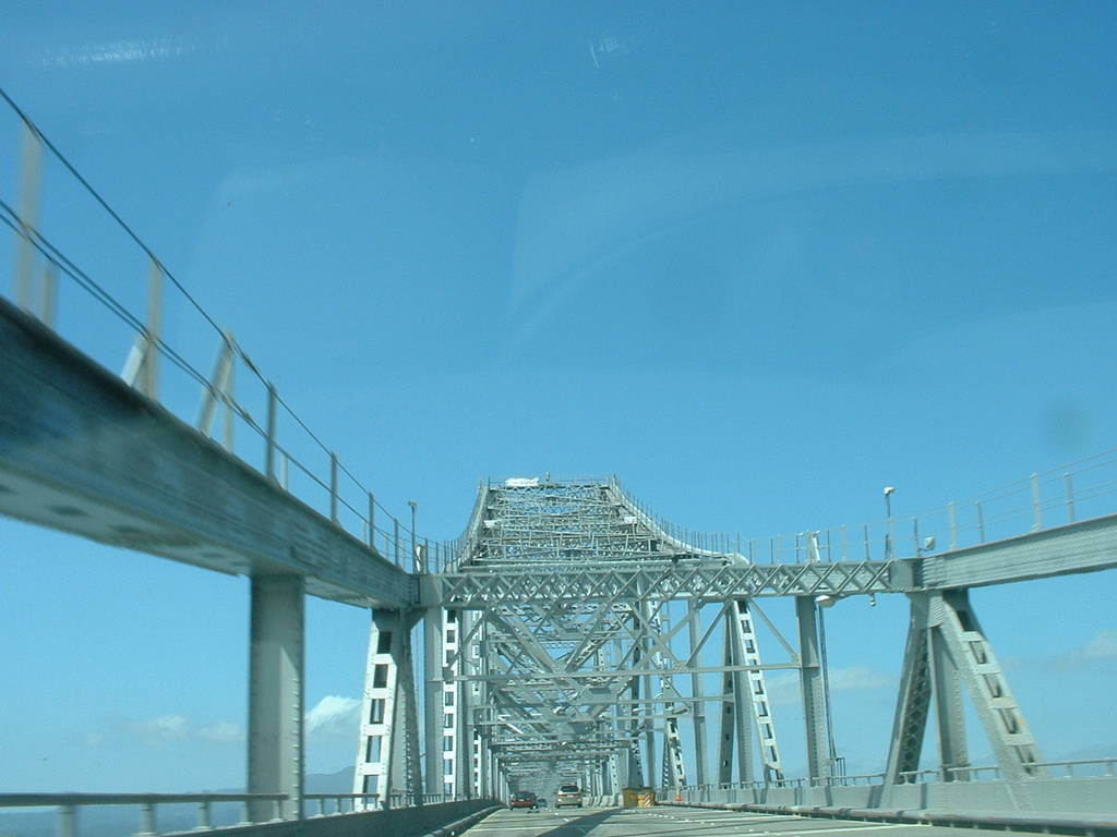
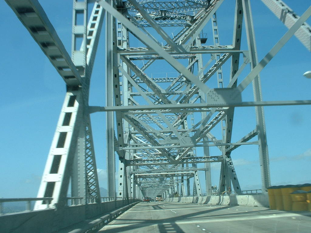
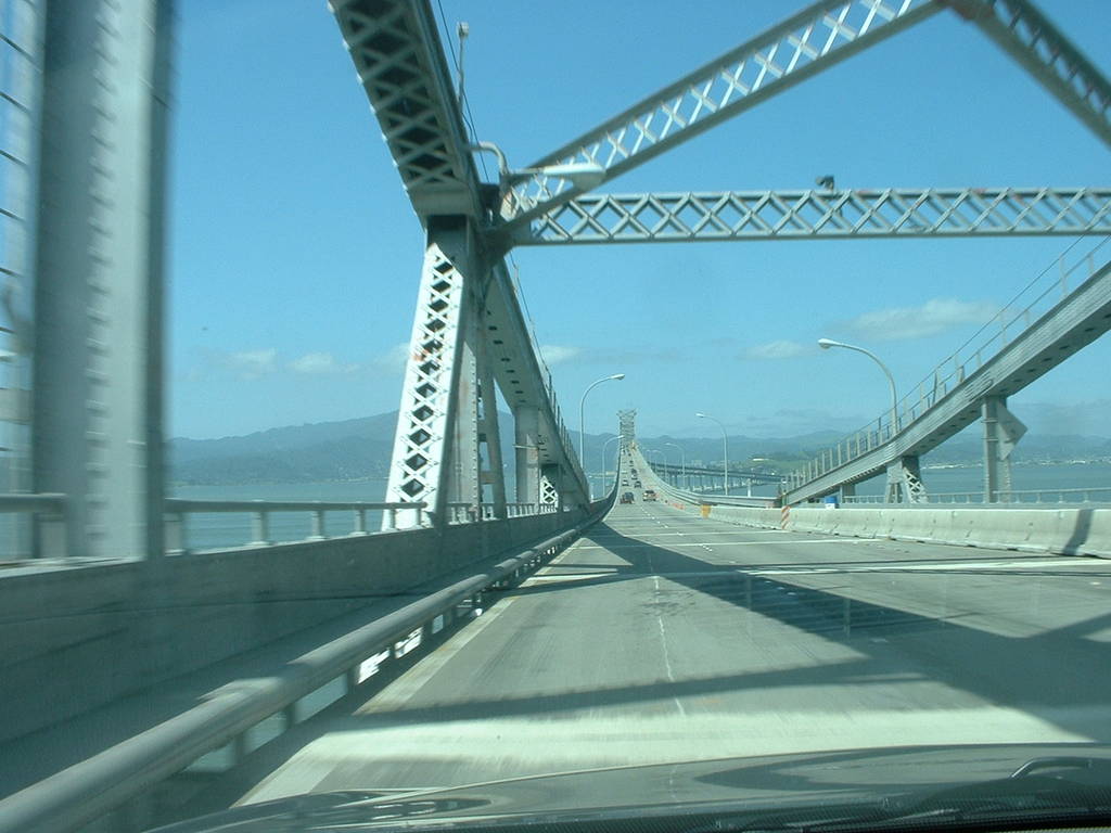
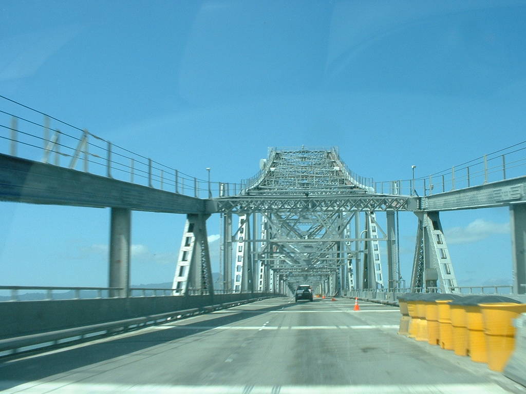
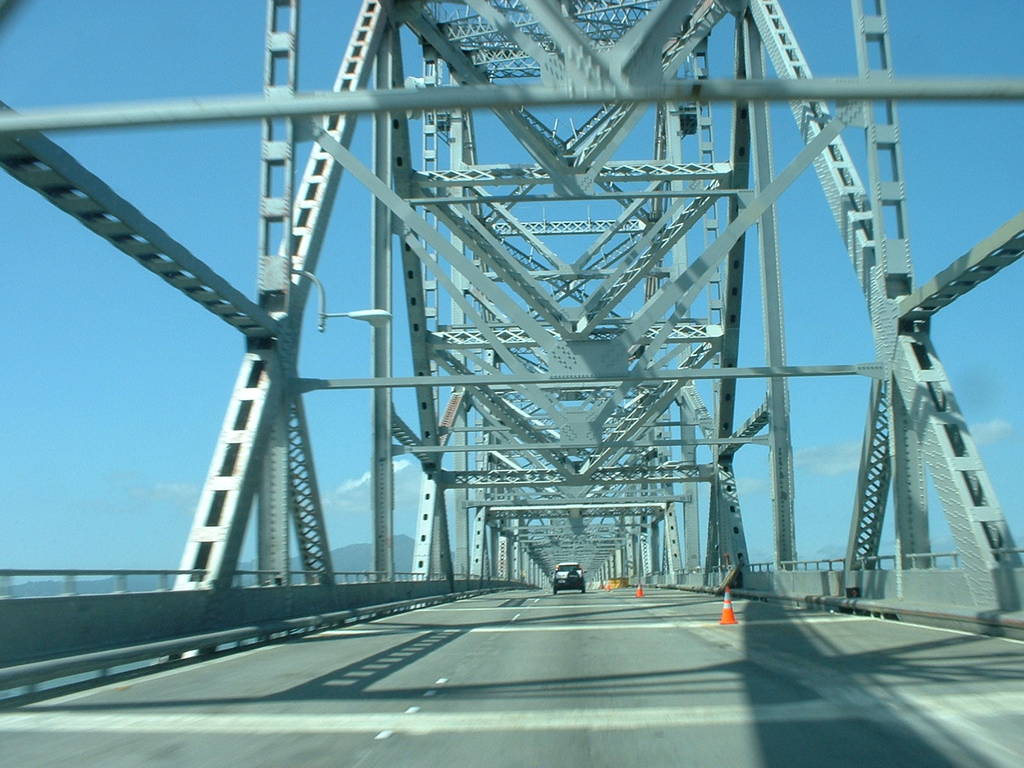
Monday evening Glenn and I found an awesome overlook just
east of Oakland where we could see the bay bridge, the
Golden Gate bridge, and all of San Francisco laid out
before us at sunset. I took *zillions* of pictures--
there's a whole "sunset" subdirectory full of them.
I'd like to stitch these together into a high-dynamic-range
or wide-angle/high-detail shot.
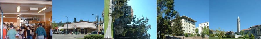
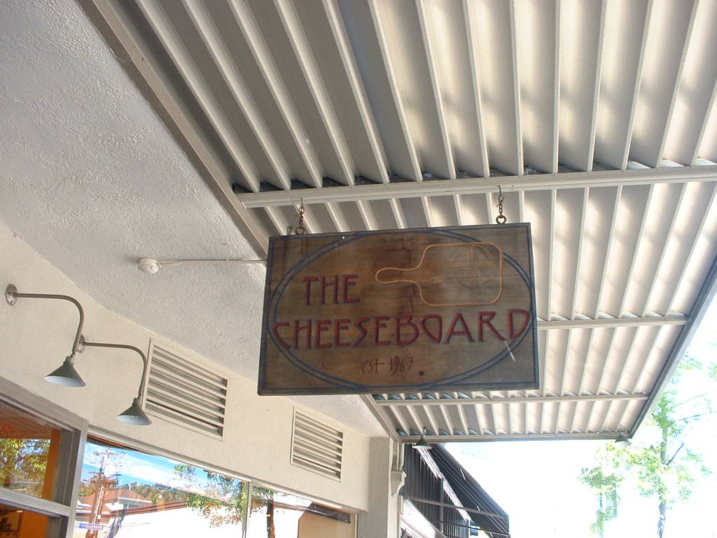
On Tuesday we hiked around Berkeley-- we hit a cheese shop
Glenn recommended. "The Cheeseboard" [356-358] is a bustling
cheese and break co-op on the corner of Shattuck and Vine.
They have a truly staggering variety of cheeses--their list
of Goudas alone runs in the dozens. You try to narrow your
preferences over the counter with one of the employee-owners
(it's a co-op), and they provide samples of likely cheeses.
You pick your cheese, they slice and weigh, and you're on your
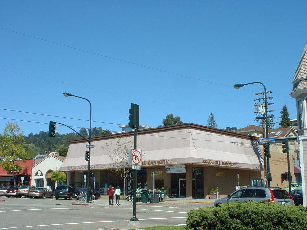
way. Across the street is "Black Oak Books", which has a good mix
of expensive antique and interesting modern books.
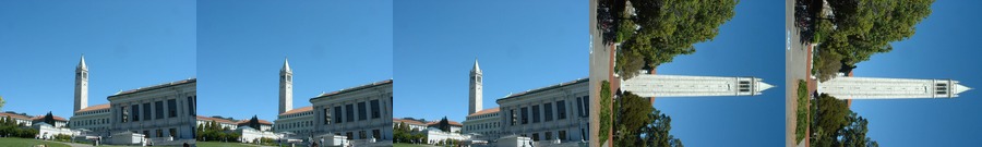
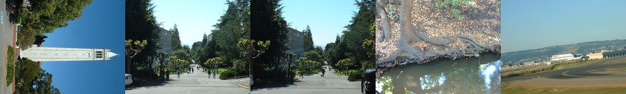
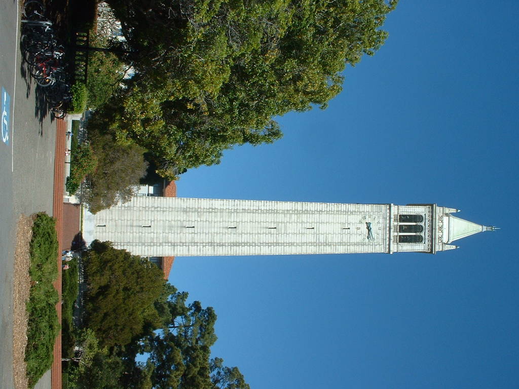
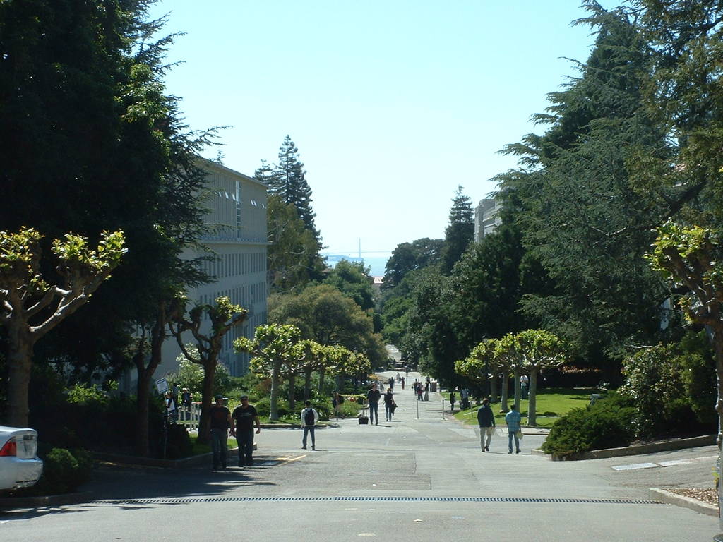
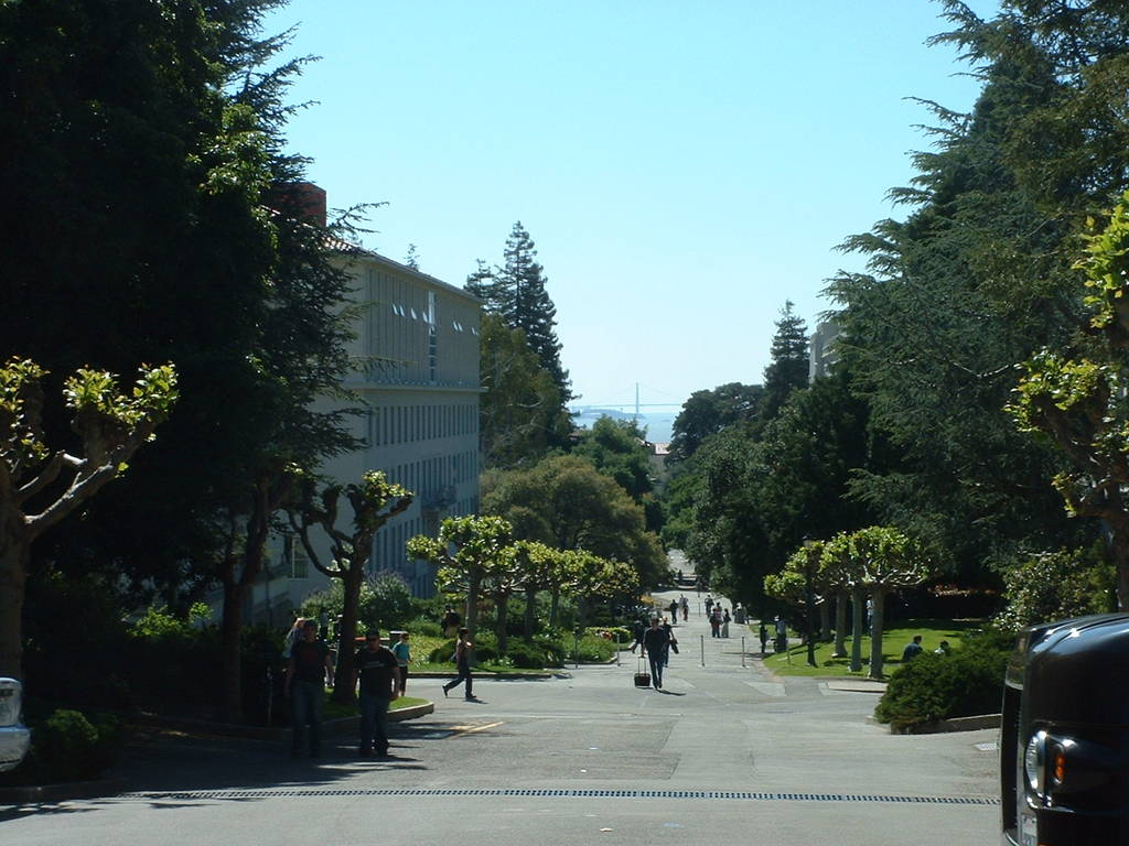
We hiked up to the UC Berkeley campus, which is nestled at the
foothills on the east side of the bay. I'd only seen the clock
tower in Debevec and Yu's computer graphics renderings, so it was
interesting to see the real thing.
Flying out, I noticed there's a section of hillside being demolished,
and a set of roads being put in [394]. It's interesting to contemplate
that the heavily wooded stuff we hiked through on the hillsides
had probably been equally disturbed. The ground heals fast south
of Alaska.
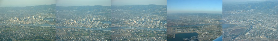
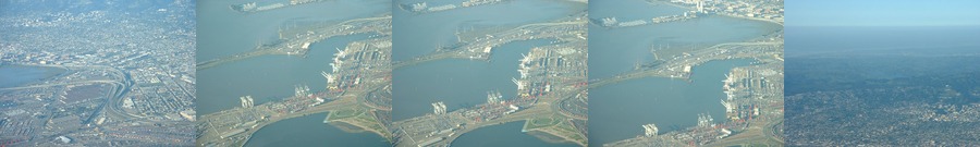
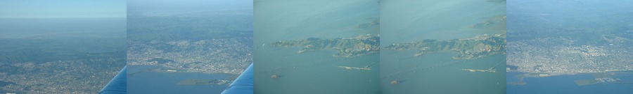
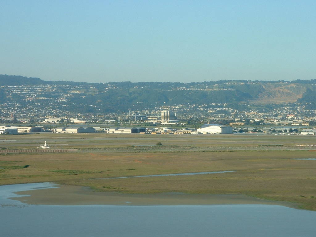
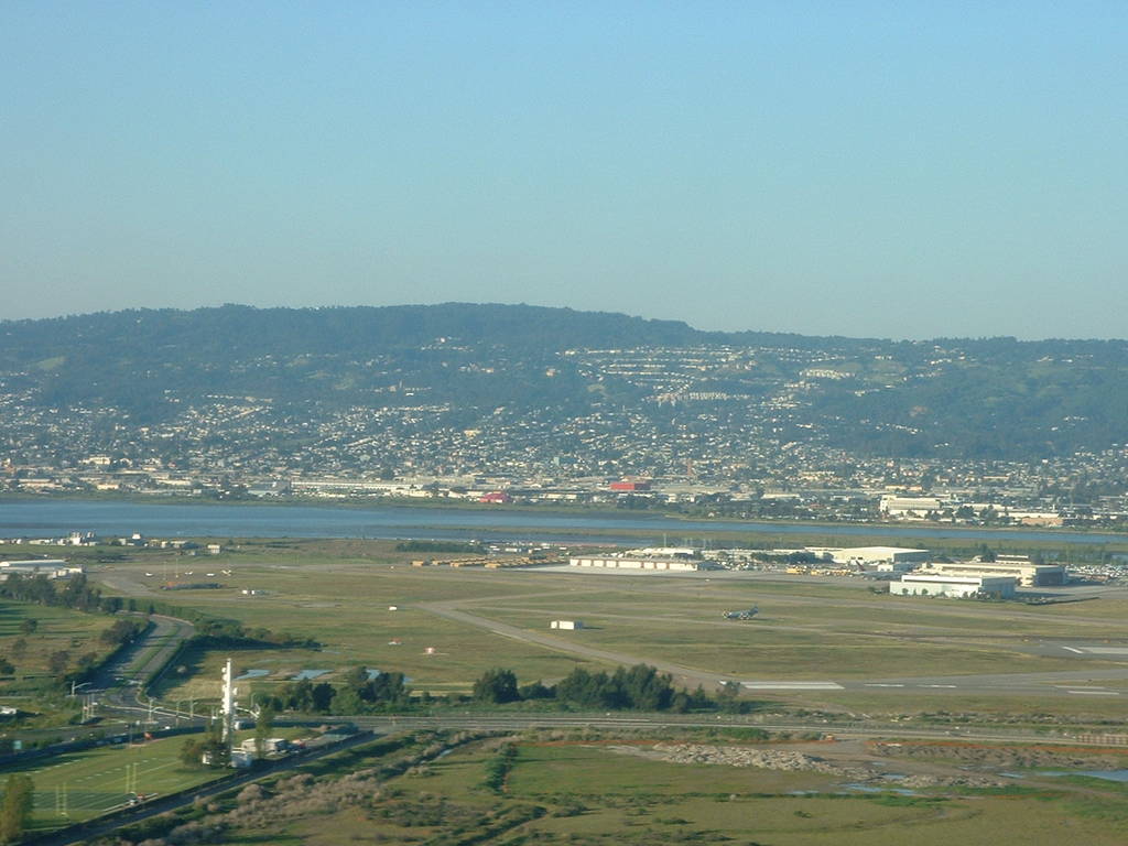
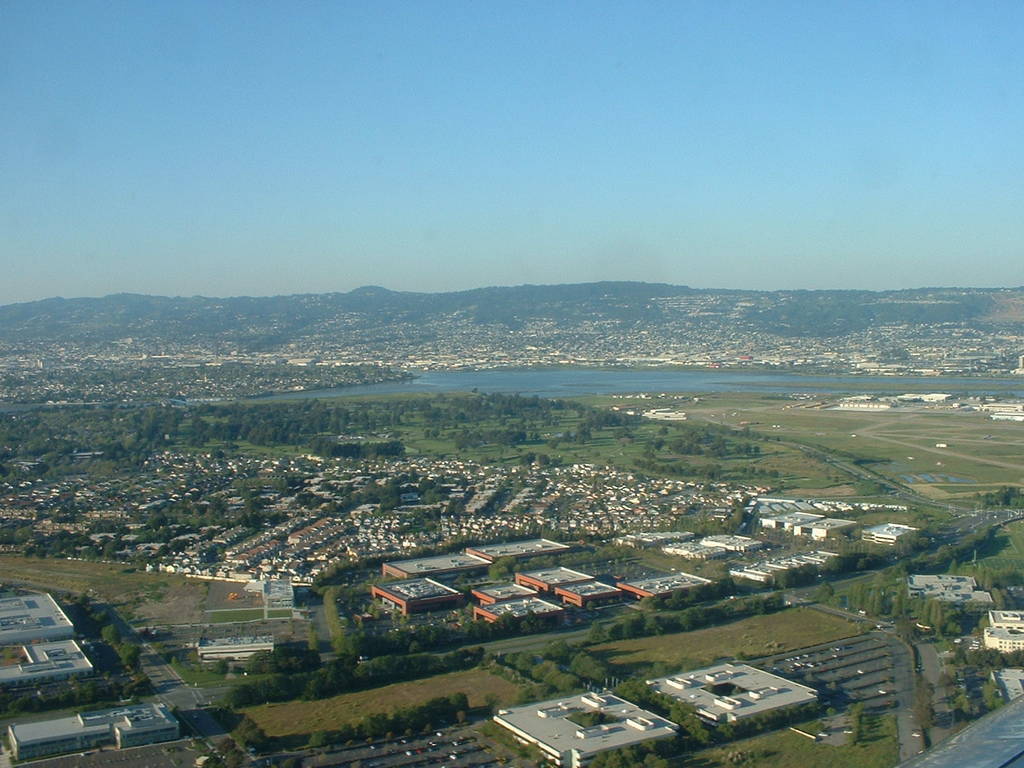
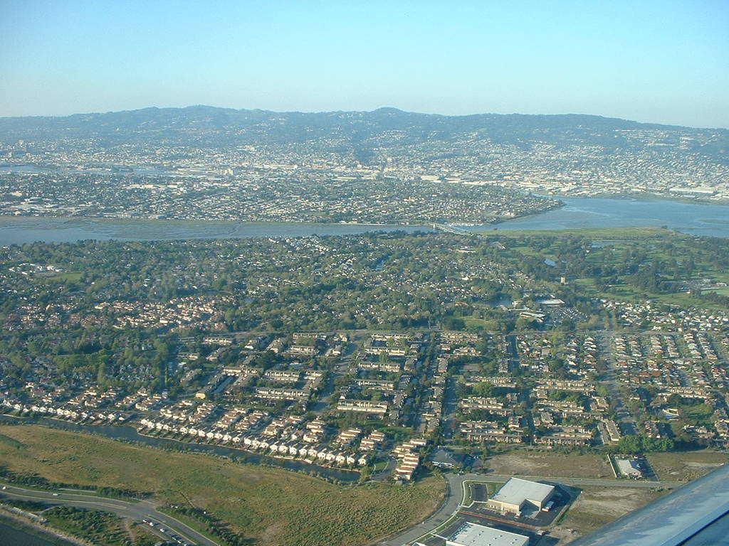
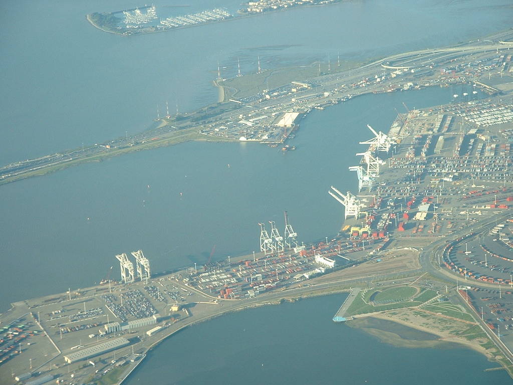
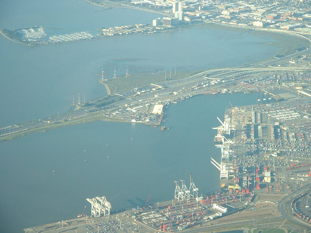
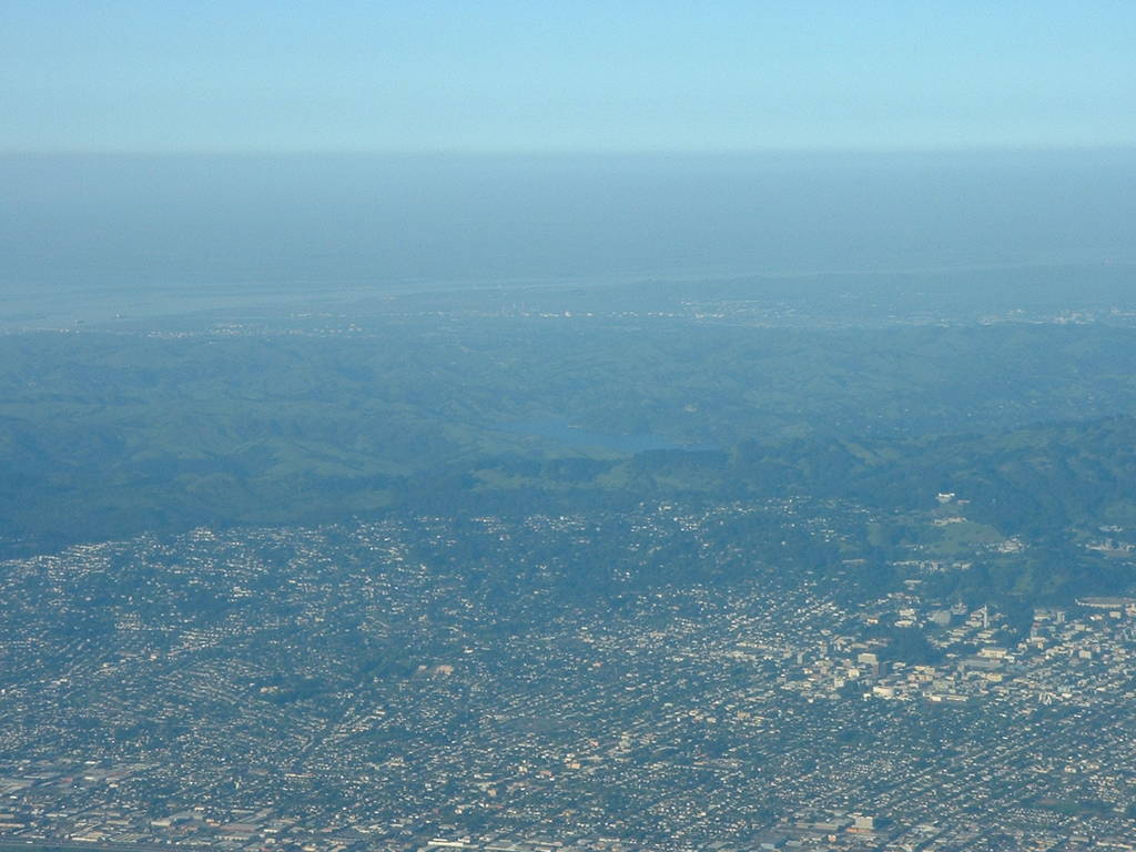
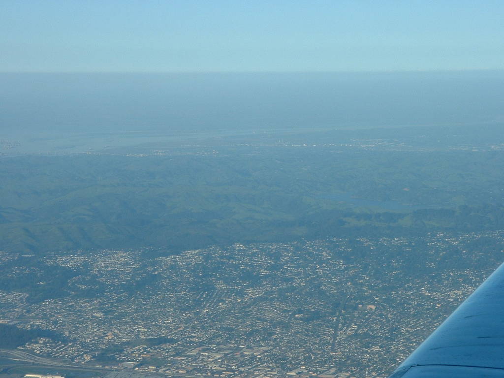
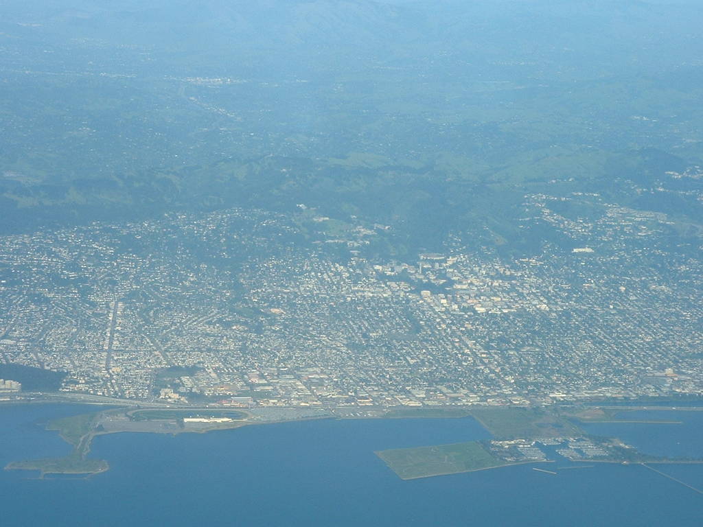
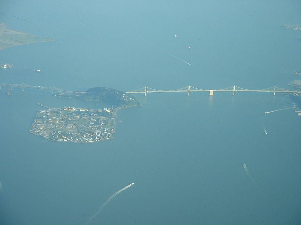
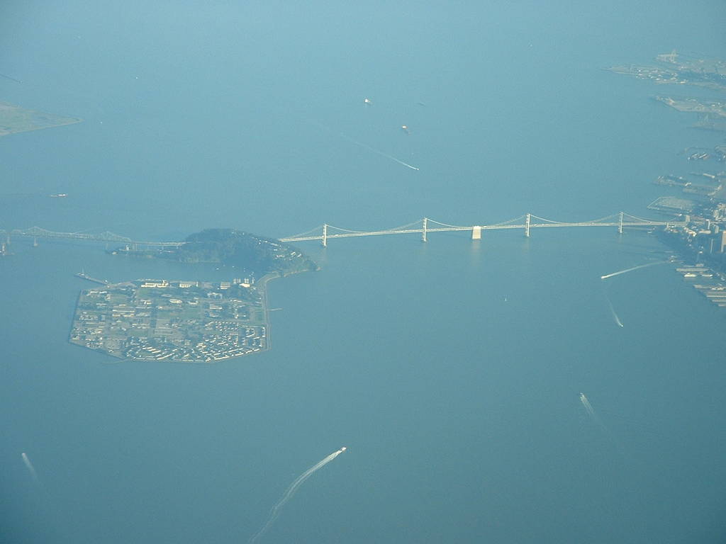
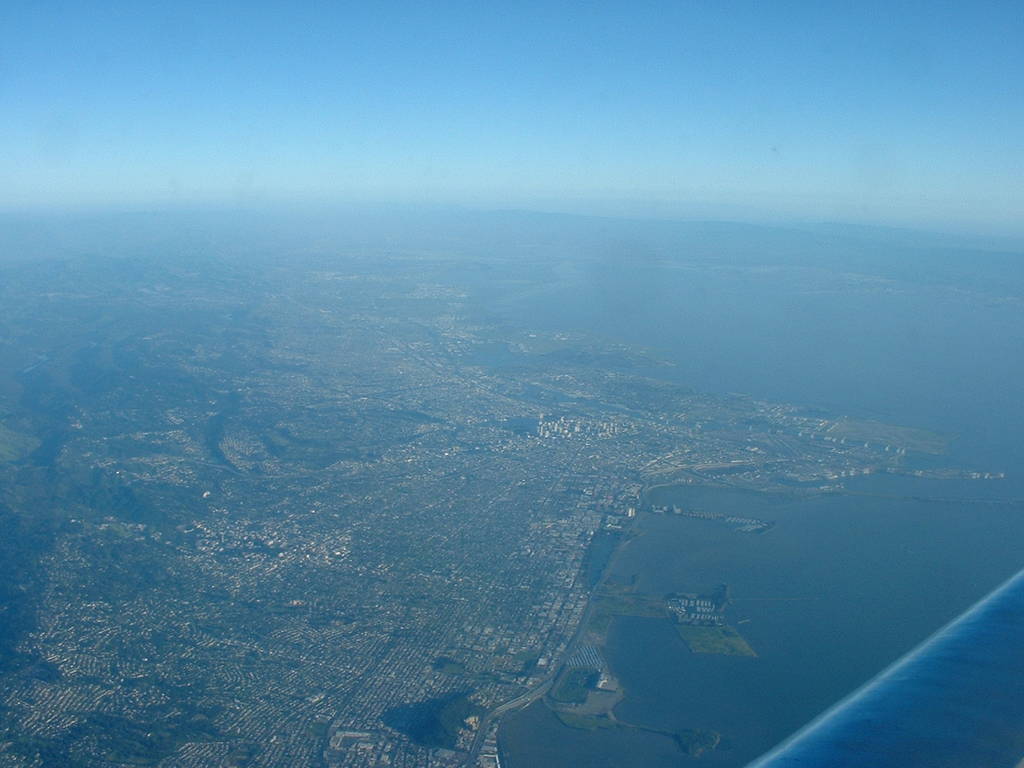
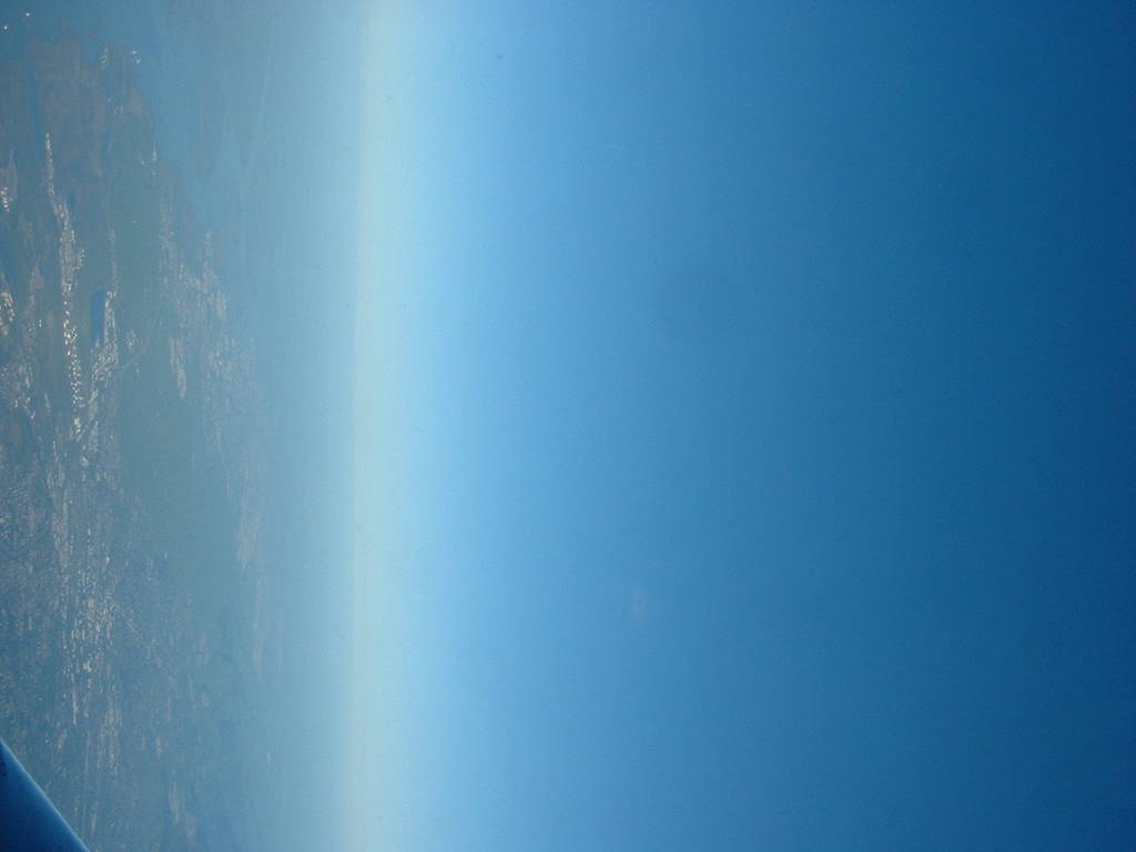
I got some decent shots of Oakland and Berkeley flying out.
The flight path was up out of Oakland international, headed just
about due north to Seattle. We flew over Almeda island, and I got
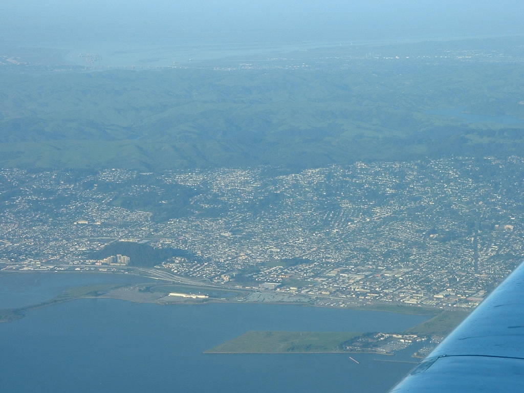
good shots of the Oakland downtown [404-407], the big interchange
off the Bay Bridge [408-412], the big storage tanks near Richmond
[416], and Berkeley and the UC Berkeley campus [418-419], although
by that time we'd gained a lot of altitude. I also got shots of
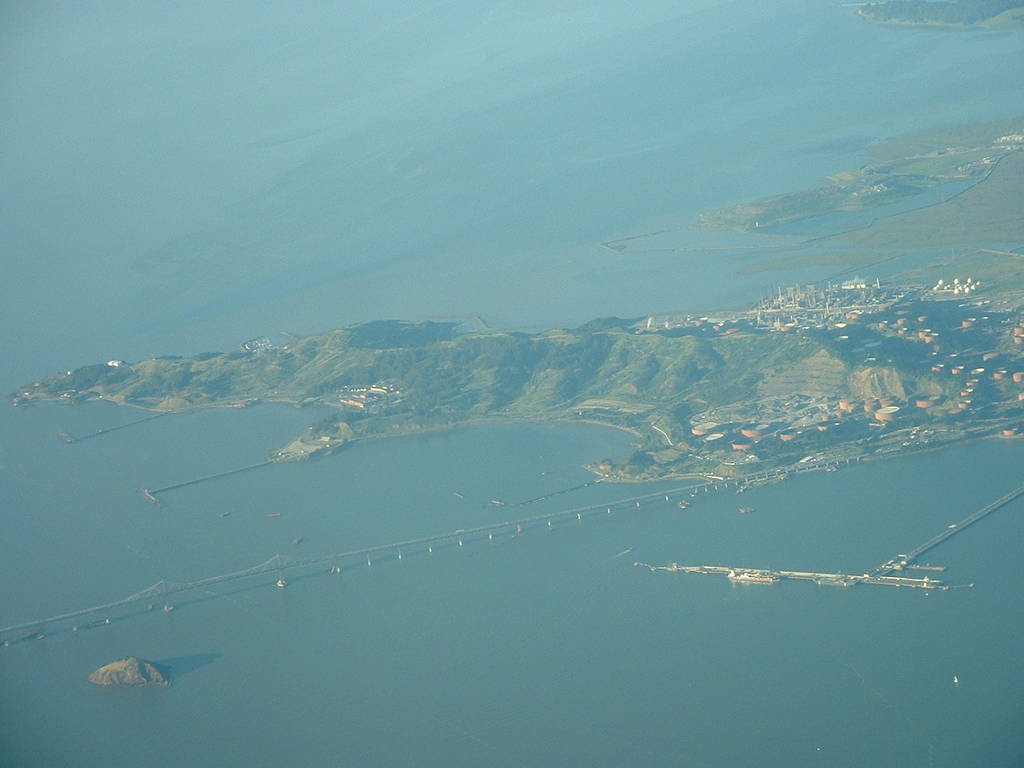
the Richmond/San Rafael bridge I drove over [420-421] and Berkeley and
Oakland from the north [422].
All images taken by Orion Lawlor
and placed completely in the public domain.
Converted to HTML on Wed Aug 31 21:21:34 AKDT 2011.
Back up to Photo Archive
Back up to Orion's Homepage


